[go: up one dir, main page]

Skip to main content
U.S. flag

An official website of the United States government

Multimedia

Images

Map view and cross section with tightly clustered earthquakes depicting fluid-fault interaction in the Yellowstone area
Relocated Yellowstone seismicity recorded during 2008-2022

Map view of relocated Yellowstone seismicity recorded during 2008-2022, colored by time, on the left.  White line gives the outline of Yellowstone caldera. The A-A’ cross section through Yellowstone Lake is shown at the right and illustrates how seismic swarms that are distinct in time relate to one another.  Adapted from Florez and others, 2025 (

Map view of relocated Yellowstone seismicity recorded during 2008-2022, colored by time, on the left.  White line gives the outline of Yellowstone caldera. The A-A’ cross section through Yellowstone Lake is shown at the right and illustrates how seismic swarms that are distinct in time relate to one another.  Adapted from Florez and others, 2025 (

A man and a woman work next to a tower with electronics equipment. Tools are scattered on the grass. Sparse trees behind.
Upgrading the WLWY continuous GPS site in Yellowstone National Park

EarthScope engineers Brendan Hodge (left) and Lia Lajoie (right) perform upgrades at the WLWY (White Lake) continuous GPS station in Yellowstone National Park.  The white box contains the receiver, while the barrel on the ground contains batteries.  The tower holds the solar panels, as well as a cellular modem and meteorological sensors that were recently

EarthScope engineers Brendan Hodge (left) and Lia Lajoie (right) perform upgrades at the WLWY (White Lake) continuous GPS station in Yellowstone National Park.  The white box contains the receiver, while the barrel on the ground contains batteries.  The tower holds the solar panels, as well as a cellular modem and meteorological sensors that were recently

Hundreds of hats laid out for display with a truck in the background providing a sense of scale
Hats collected by the Yellowstone National Park Geology Program from sensitive thermal areas in 2025

Just some of the hats collected by the Yellowstone National Park Geology Program from sensitive thermal areas throughout the park in 2025.  National Park Service photo by Margery Price, September 3, 2025.

Desolate caldera with a steaming volcanic vent in the background under cloudy skies.
Kīlauea summit caldera from B1 camera on August 29, 2025

View of Kaluapele (Kīlauea's summit caldera) from the B1 webcam on August 29, 2025, acquired between lava fountaining episodes 31 and 32.

Woman in red vest standing on white terrace in front of reddish hot spring under blue sky. Mountains in the background.
Extracting wind-blown litter from a thermal feature in Yellowstone National ark

Yellowstone National Park Geology Program team member Mara Reed uses a long grabber pole to remove a park map, presumably blown from a visitor's hand or pack by the wind, from a feature in Upper Mammoth Terraces. National Park Service photo by Samantha Hilburn, August 2025.

Yellowstone National Park Geology Program team member Mara Reed uses a long grabber pole to remove a park map, presumably blown from a visitor's hand or pack by the wind, from a feature in Upper Mammoth Terraces. National Park Service photo by Samantha Hilburn, August 2025.

Smiling woman standing on a boardwalk and holding an open pizza box. Scrubby ground and forested hill in background.
Removing trash from Geyser Hill, Yellowstone National Park

Yellowstone National Park Geology Program volunteer Tara Cross smiles and shows off a pizza box found on Geyser Hill in Upper Geyser Basin. National Park Service photo by Margery Price, August 2025.

Yellowstone National Park Geology Program volunteer Tara Cross smiles and shows off a pizza box found on Geyser Hill in Upper Geyser Basin. National Park Service photo by Margery Price, August 2025.

Videos

Grand Prismatic Spring: Boiling, colorful, and full of bacteria! Grand Prismatic Spring: Boiling, colorful, and full of bacteria!
Grand Prismatic Spring: Boiling, colorful, and full of bacteria! (Yellowstone Monthly Update - July 2025)
At sunset a small plume of muddy water erupts from an otherwise placid, steaming pool surrounded by barren rocky ground At sunset a small plume of muddy water erupts from an otherwise placid, steaming pool surrounded by barren rocky ground
Black Diamond Pool (Biscuit Basin, Yellowstone National Park) eruption on May 31, 2025

This video, recorded by a webcam, shows a small eruption from Black Diamond Pool in the Biscuit Basin subbasin of Upper Geyser Basin, Yellowstone National Park, at 8:39 p.m. MDT on May 31, 2025.  The pool was the site of a hydrothermal explosion on July 23, 2024.

This video, recorded by a webcam, shows a small eruption from Black Diamond Pool in the Biscuit Basin subbasin of Upper Geyser Basin, Yellowstone National Park, at 8:39 p.m. MDT on May 31, 2025.  The pool was the site of a hydrothermal explosion on July 23, 2024.

Phot of Cleveland Volcano in eruption and title of presentation by J. Lowenstern Phot of Cleveland Volcano in eruption and title of presentation by J. Lowenstern
The Challenge of Volcano Monitoring, Eruption Forecasting, and Protecting Vulnerable Populations

This presentation by Dr. Jake Lowenstern was prepared for the AGU 2024-2025 Distinguished Lecture Series. It discusses the challenges of volcano monitoring, eruption forecasting, and protecting vulnerable populations.

Biscuit Basin Update, Hydrothermal Explosion on July 23, 2024 Biscuit Basin Update, Hydrothermal Explosion on July 23, 2024
Biscuit Basin Hydrothermal Explosion Update (Yellowstone Monthly Update — October 2024)

Let’s get you caught up on what we’ve learned about the July 23, 2024, hydrothermal explosion in Biscuit Basin, in this Yellowstone Volcano Observatory Monthly Update for October 2024. 

Read Caldera Chronicles

Update Biscuit Basin Update Biscuit Basin
Biscuit Basin Update; 65th Anniversary — M7.3 Hebgen Lake Quake (Yellowstone Monthly Update - Aug 2024)
Man smirks with "Volcanoes in Kansas?" on top of a U.S. map with volcanic eruption in the background. Man smirks with "Volcanoes in Kansas?" on top of a U.S. map with volcanic eruption in the background.
Kansas covered in ash? Yellowstone's aftermath (Yellowstone Volcano Update - March 2024)

Volcanic ash in Kansas? It's true there's thick deposits there, but where are the source volcanoes? Geologists began puzzling over this in the late 1800s when these deposits were first recognized. 

Webcams

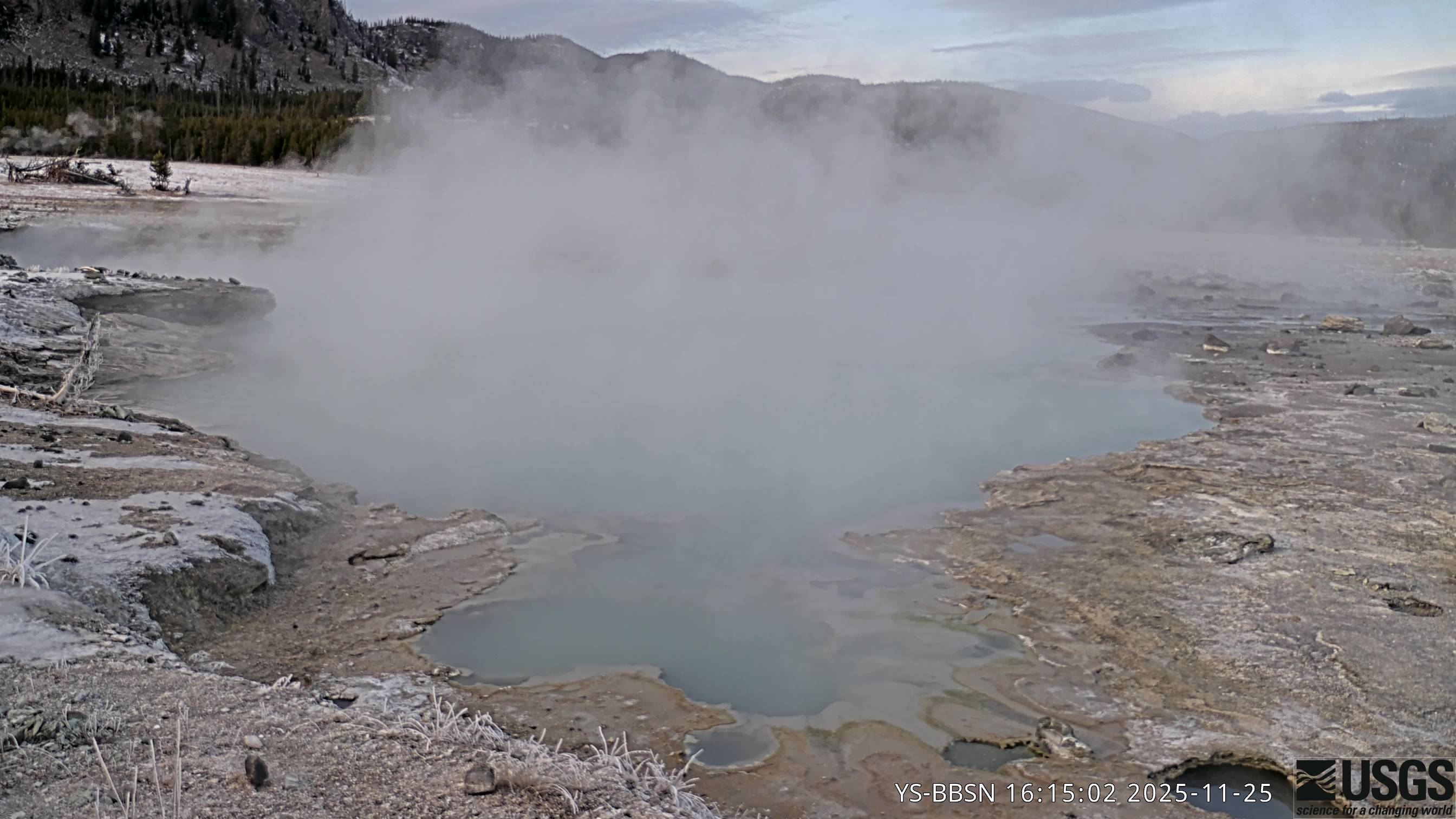
Looking at hot spring with high cliffs in the background
Biscuit Basin webcam

The camera view is north-northwest from the Biscuit Basin boardwalk looking at Black Diamond Pool, which is in the foreground (the tilted viewing angle is due to the slope of the boardwalk).

The camera view is north-northwest from the Biscuit Basin boardwalk looking at Black Diamond Pool, which is in the foreground (the tilted viewing angle is due to the slope of the boardwalk).

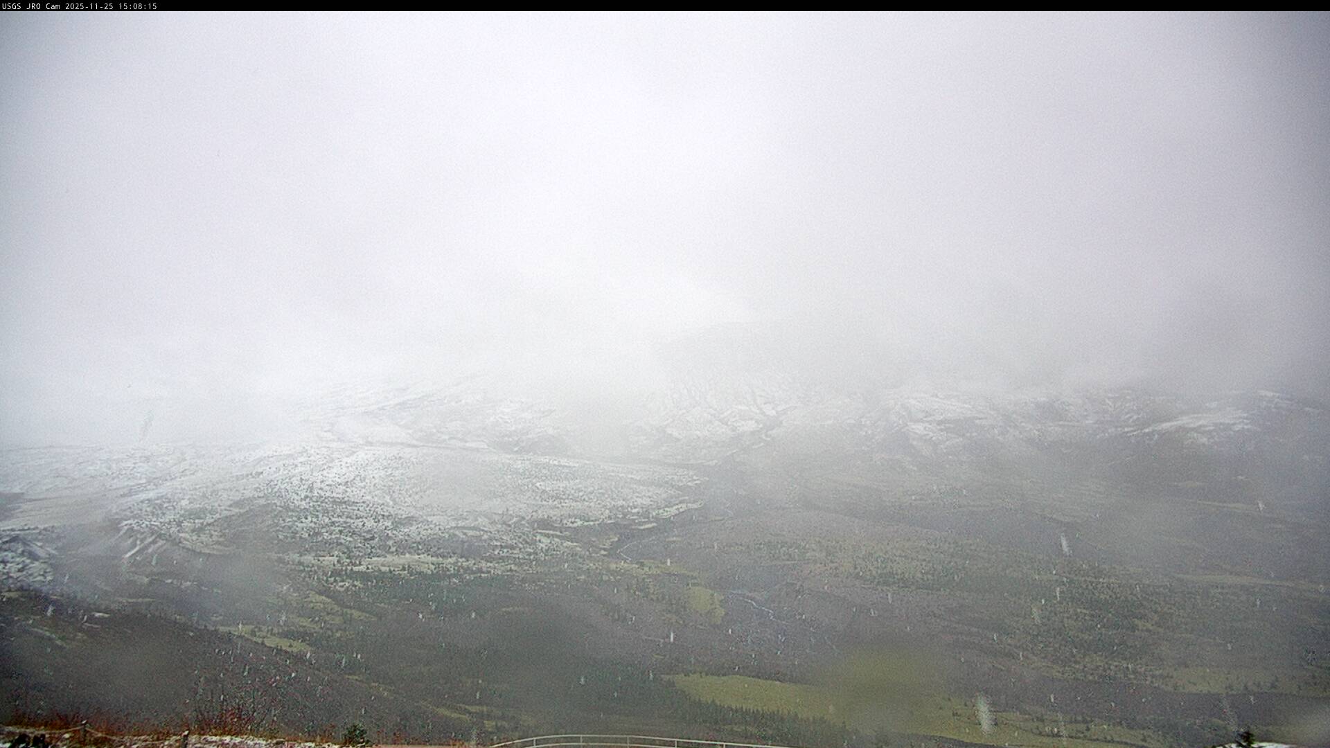
Image of Mount St. Helens looking south from north of the volcano
Johnston Ridge Observatory, Mount St. Helens

This static image is from a USGS Cascades Volcano Observatory research camera located at the Johnston Ridge Observatory, north of Mount St. Helens.  The view is to the south.  This camera is intended to assist the USGS with situational awareness. At times, clouds, rain, and snow obscure visibility.

This static image is from a USGS Cascades Volcano Observatory research camera located at the Johnston Ridge Observatory, north of Mount St. Helens.  The view is to the south.  This camera is intended to assist the USGS with situational awareness. At times, clouds, rain, and snow obscure visibility.

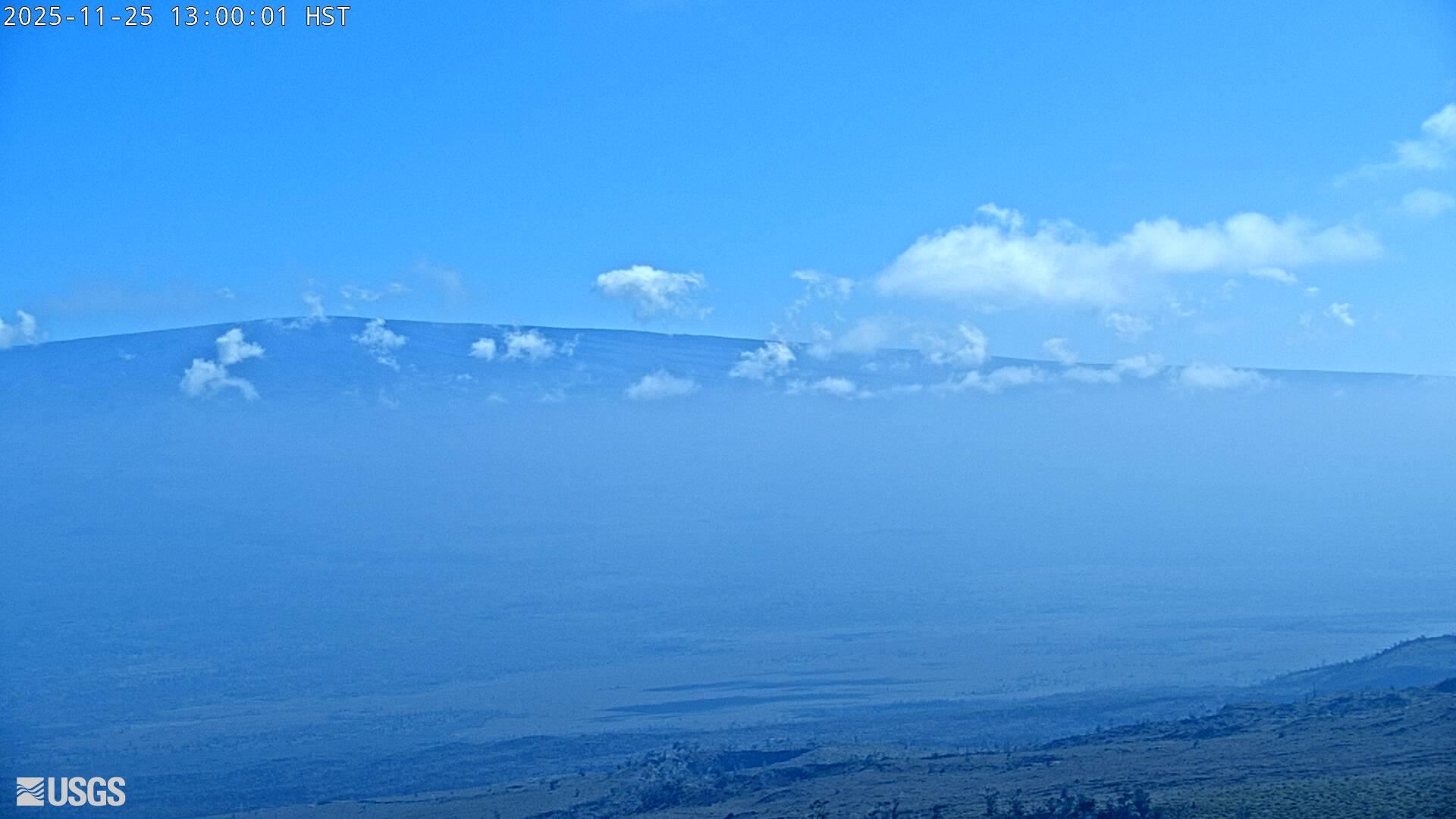
Webcam image view of volcano flank
[HLcam] Live Image of Mauna Loa's northwest flank from Hualālai volcano
[HLcam] Live Image of Mauna Loa's northwest flank from Hualālai volcano
[HLcam] Live Image of Mauna Loa's northwest flank from Hualālai volcano

Live view of the northwest flank of Mauna Loa; the view is from the southeast flank of Hualālai [HLcam]. This camera is a pan-tilt-zoom model and the view may change depending on activity.

Was this page helpful?