SD7900 : Irlam o th' Height
taken 7 years ago, near to Pendlebury, Salford, England
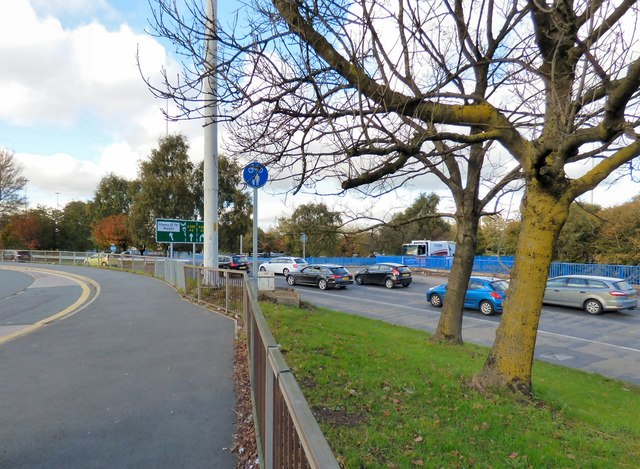
The A6 is Britain's fourth longest road and one of the main historic north-south roads in England. It currently runs for 299 miles from Luton in Bedfordshire to Carlisle in Cumbria, although it formerly started at a junction with the A1 at Barnet.
Running north west from Luton, the road travels through Bedford, bypasses Rushden, Kettering and Market Harborough, continues through Leicester, Loughborough, Derby and Matlock before going through the Peak District to Bakewell, Buxton, Stockport, Manchester, Salford, Pendleton, Irlams o' th' Height, Pendlebury, Swinton, Walkden, Little Hulton, Bolton, Chorley, Preston, Lancaster, Kendal and Penrith before reaching Carlisle.
See Link(Wikipedia) and Link
The A580 (officially the Liverpool-East Lancashire Road) links Walton in Liverpool to Salford. It was the United Kingdom's first purpose-built intercity highway (Archive Link
- Grid Square
- SD7900, 44 images (more nearby 🔍)
- Photographer
- Gerald England (more nearby)
- Date Taken
- Friday, 27 October, 2017 (more nearby)
- Submitted
- Friday, 23 March, 2018
- Subject Location
-
OSGB36:
 SD 7957 0060 [10m precision]
WGS84: 53:30.1016N 2:18.5680W - Camera Location
-
OSGB36: SD 7958 0057
- View Direction
- North-northwest (about 337 degrees)