Le Hanouard
- Asturianu
- Bahasa Melayu
- 閩南語 / Bân-lâm-gú
- Català
- Cebuano
- Deutsch
- Ελληνικά
- English
- Español
- Esperanto
- Euskara
- Français
- Italiano
- Қазақша
- Kurdî
- Latina
- Magyar
- Nederlands
- Нохчийн
- Occitan
- Oʻzbekcha / ўзбекча
- Piemontèis
- Polski
- Português
- Qaraqalpaqsha
- Română
- Slovenčina
- Српски / srpski
- Srpskohrvatski / српскохрватски
- Svenska
- Татарча / tatarça
- Українська
- Vèneto
- Winaray
- 中文
Giao diện
Bách khoa toàn thư mở Wikipedia
|
Le Hanouard | |
| Hành chính | |
|---|---|
| Quốc gia | |
| Vùng | Normandie |
| Tỉnh | Seine-Maritime |
| Quận | Le Havre |
| Tổng | Ourville-en-Caux |
| Thống kê | |
| Độ cao | 36–142 m (118–466 ft) (bình quân 85 m (279 ft)[chuyển đổi: tùy chọn không hợp lệ]) |
| Diện tích đất1 | 4,32 km2 (1,67 dặm vuông Anh) |
| Nhân khẩu2 | 226 (2006) |
| - Mật độ | 52/km2 (130/sq mi) |
| INSEE/Mã bưu chính | 76339/ 76450 |
| 1 Dữ liệu địa chính Pháp loại trừ các hồ và ao lớn hơn 1 km² (0.386 dặm vuông hoặc 247 acre) cũng như các cửa sông. | |
| 2 Dân số không tính hai lần: cư dân của nhiều xã (ví dụ, các sinh viên và quân nhân) chỉ tính một lần. | |
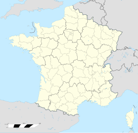
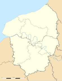
Le Hanouard là một xã thuộc tỉnh Seine-Maritime trong vùng Normandie miền bắc nước Pháp.
Huy hiệu
[sửa | sửa mã nguồn] |
The arms of Le Hanouard are blazoned:
|
Dân số
[sửa | sửa mã nguồn]| Năm | 1962 | 1968 | 1975 | 1982 | 1990 | 1999 | 2006 |
|---|---|---|---|---|---|---|---|
| Dân số | 232 | 234 | 226 | 287 | 266 | 273 | 226 |
| From the year 1962 on: No double counting—residents of multiple communes (e.g. students and military personnel) are counted only once. | |||||||
Xem thêm
[sửa | sửa mã nguồn]Tham khảo
[sửa | sửa mã nguồn]Liên kết ngoài
[sửa | sửa mã nguồn]- Le Hanouard on the Quid website Lưu trữ 2009-07-21 tại Wayback Machine (tiếng Pháp)
| Bài viết này vẫn còn sơ khai. Bạn có thể giúp Wikipedia mở rộng nội dung để bài được hoàn chỉnh hơn. |

