San Leo
San Leo | |
|---|---|
| Comune di San Leo | |
 | |
| Coordinates: 43°54′N 12°21′E / 43.900°N 12.350°E | |
| Kintra | Italy |
| Region | Emilia-Romagna |
| Province | Rimini (RN) |
| Frazioni | Azienda, Capicchio, Castelnuovo, Montefotogno, Montemaggio, Pietracuta, Pietramaura, Santa Lucia, Tausano, Torello |
| Govrenment | |
| • Mayor | Dario Giorgini |
| Area | |
| • Total | 53.3 km2 (20.6 sq mi) |
| Elevation | 589 m (1,932 ft) |
| Population (Mey 2007)[1] | |
| • Total | 2,998 |
| • Density | 56/km2 (150/sq mi) |
| Demonym(s) | Leontini |
| Time zone | UTC+1 (CET) |
| • Summer (DST) | UTC+2 (CEST) |
| Postal code | 47865 |
| Diallin code | 0541 |
| Patron saunt | St. Leo |
| Saunt day | August 1 |
| Website | Offeecial wabsteid |

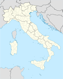
San Leo is a comune (municipality) in the Province o Rimini in the Italian region Emilia-Romagna, locatit aboot 135 km sootheast o Bologna an aboot 35 km sooth o Rimini.
Geografie
[eedit | eedit soorce]San Leo borders the follaein municipalities: Acquaviva (San Marino), Chiesanuova (San Marino), Città di San Marino (San Marino), Maiolo, Montecopiolo, Monte Grimano, Novafeltria, Sassofeltrio, Torriana, Verucchio.
San Leo is hame tae a large fortress at an altitude o 600 metres abuin sea level.
The toun is kent for its lairge population o pet an feral cats.
History
[eedit | eedit soorce]Efter the referendum o 17 an 18 December 2006, San Leo wis detached frae the Province o Pesaro an Urbino (Marche) tae join Emilia-Romagna an the Province o Rimini on 15 August 2009[2][3].
Demographic evolution
[eedit | eedit soorce]
Twin touns
[eedit | eedit soorce]References
[eedit | eedit soorce]- ↑ All demographics and other statistics: Italian statistical institute Istat.
- ↑ (in Italian) Article about the legislation Archived 2011-07-22 at the Wayback Machine
- ↑ (in Italian) Article Archived 2016-04-19 at the Wayback Machine on "il Resto del Carlino"
Freemit airtins
[eedit | eedit soorce]![]() Media relatit tae San Leo at Wikimedia Commons
Media relatit tae San Leo at Wikimedia Commons
