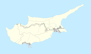
Gerovasa
Appearance
Gerovasa
Γεροβάσα Yerovası | |
|---|---|
 | |
| Coordinates: 34°48′47″N 32°44′25″E / 34.81306°N 32.74028°E | |
| Country | |
| District | Limassol District |
| Population (2001)[1] | |
| • Total | 0 |
| Time zone | UTC+2 (EET) |
| • Summer (DST) | UTC+3 (EEST) |
Gerovasa (Greek: Γεροβάσα, Turkish: Yerovası) is an abandoned village in the Limassol District of Cyprus, located 6 km west of Malia. In 1960 the majority of the inhabitants were Turkish Cypriots. [2]
References
[edit]- ^ Census 2001
- ^ "Archived copy". Archived from the original on 2007-10-28. Retrieved 2009-06-14.
{{cite web}}: CS1 maint: archived copy as title (link)

