Bush Mill Stream Natural Area Preserve
Appearance
| Bush Mill Stream Natural Area Preserve | |
|---|---|
 Bush Mill Stream as seen from the observation deck | |
| Location | Northumberland County, Virginia |
| Coordinates | 37°52′21″N 76°26′55″W / 37.8724°N 76.4486°W |
| Area | 144 acres (58 ha) |
| Governing body | Virginia Department of Conservation and Recreation |
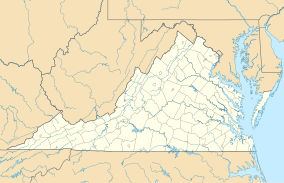
Bush Mill Stream Natural Area Preserve is a 144-acre (58 ha) Natural Area Preserve in Northumberland County, Virginia. The preserve protects an area of fresh and brackish tidal wetlands at the confluence of the freshwater Bush Mill Stream and the saltwater Great Wicomico River, which serves as important habitat for numerous species of birds.[1]
The preserve is open to the public during daylight hours and contains hiking trails, a boardwalk over the stream, an observation deck, and signs about the history of the stream. It is owned and maintained by the Virginia Department of Conservation and Recreation.[1]
See also
[edit]References
[edit]- ^ a b "Bushmill Stream Natural Area Preserve". Virginia Department of Conservation and Recreation. Retrieved February 18, 2024.
External links
[edit]

