聖赫利爾 (倫敦)
外观
| St Helier | |
|---|---|
 Shops at Green Lane, St Helier | |
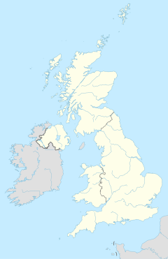
聖赫利爾 (倫敦)在英国的位置 | |
| 人口 | 11,949(2011年人口普查,薩頓區)[1] 10,414(2011年人口普查,默頓區)[2] |
| OS 格網參考 | TQ265664 |
| 大倫敦 | |
| 國家 | England |
| 主權國家 | 英国 |
| 郵鎮 | MORDEN |
| 郵區 | SM4 |
| 郵鎮 | CARSHALTON |
| 郵區 | SM5 |
| 電話區號 | 020 |
| 英國國會選區 | |
聖赫利爾(St Helier)是倫敦的一個地區[3],位於默頓區和薩頓區。開通於1926年的倫敦地鐵北線的莫登站促進了這裡的發展。
參考資料
[编辑]- ^ Sutton Ward population 2011. Neighbourhood Statistics. Office for National Statistics. [9 October 2016]. (原始内容存档于2016-10-21).
- ^ Merton Ward population 2011. Neighbourhood Statistics. Office for National Statistics. [11 October 2016]. (原始内容存档于2016-10-21).
- ^ Saint Helier. Collins Dictionary. n.d. [23 September 2014]. (原始内容存档于2018-06-19).
