Current time (in UTC/GMT/Zulu):
JavaScript Must Be Enabled.

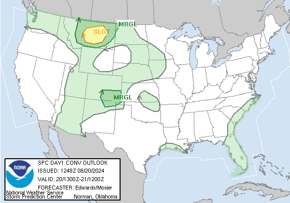
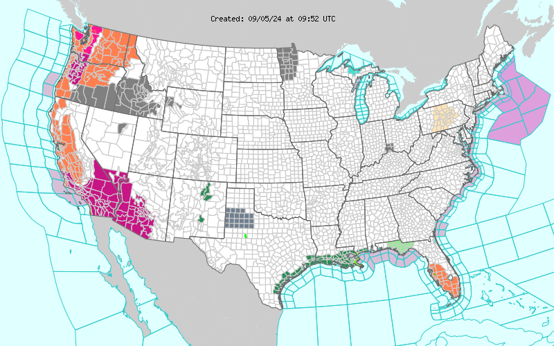
A Slight Risk of Severe Thunderstorms is Forecast Today and/or Tonight
Severe thunderstorms are possible this afternoon and evening from northeast Colorado into southwest Nebraska and far northwest Kansas. Strong to isolated severe thunderstorms are also possible this afternoon and evening across parts of the eastern Great Basin/northern Intermountain region into the northern/central High Plains and central Great Plains, as well as South Carolina.
 For additional details, see the latest Day 1 Convective Outlook.
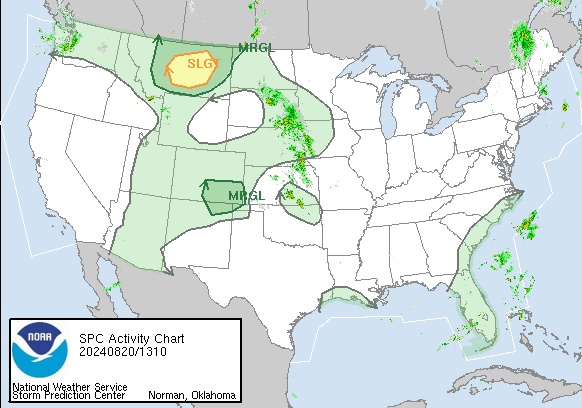
|
All Products
Watches
MDs
Outlooks
Fire
|
|
|
||||||||
|
|
|
||||||||
|
Latest SPC Publications
|
Latest SPC Case Archive
|
|||||||||


|
|
NOAA /
National Weather Service National Centers for Environmental Prediction Storm Prediction Center 120 David L. Boren Blvd. Norman, OK 73072 U.S.A. spc.feedback@noaa.gov Page last modified: August 13 2024 16:32 UTC |
Disclaimer Information Quality Help Glossary |
Privacy Policy Freedom of Information Act (FOIA) About Us Career Opportunities |
