2012
SE1653 : Rues Lane
taken 13 years ago, near to Timble, North Yorkshire, England
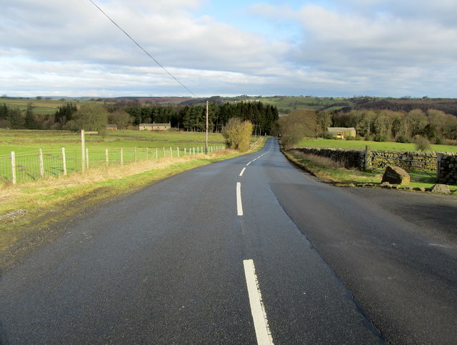
Rues Lane
Part of the road between Otley and Blubberhouses, seen here outside Rues Farm.
TIP: Click the map for more Large scale mapping
- Grid Square
- SE1653, 30 images (more nearby 🔍)
- Photographer
- Chris Heaton (more nearby)
- Date Taken
- Wednesday, 15 February, 2012 (more nearby)
- Submitted
- Friday, 17 February, 2012
- Subject Location
-
OSGB36:
 SE 1695 5369 [10m precision]
WGS84: 53:58.7397N 1:44.5826W - Camera Location
-
OSGB36: SE 1695 5366
- View Direction
- NORTH (about 0 degrees)