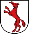
Rennertshofen
Qiyofa
Rennertshofen | |
|---|---|
| Kommuna | |
 | |
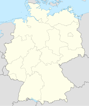
| 48°45′0″N 11°2′0″E / 48.75000°N 11.03333°E | |
| Mamlakat | Germaniya |
| Yer | Bavariya |
| tuman | Neuburg-Schrobenhausen (tuman) |
| Hukumat | |
| Ernst Gebert | |
| Maydon | 9,307 km2 (3,593 kv mi) |
| Markazi balandligi | 394 m |
| Aholisi (2010) |
4 783 |
| Vaqt mintaqasi | UTC+1, yozda UTC+2 |
| Telefon kodi | 08434 |
| Pochta indeks(lar)i | 86643 |
| Avtomobil kodi | ND |
| Rasmiy kodi | 09 1 85 153 |
|
| |
Rennertshofen Germaniyaning Bavariya yerida joylashgan kommunadir. Ushbu kommuna Neuburg-Schrobenhausen tumani tarkibiga kiradi. Maydoni — 93,07 km2. Aholisi — 4783 kishi (2010).
Geografiyasi
[tahrir | manbasini tahrirlash]Hududi
[tahrir | manbasini tahrirlash]Rennertshofenning hududi 93,11[1] km2dir. Dengiz sathidan oʻrtacha 394 m balandlikda joylashgan.
Demografiyasi
[tahrir | manbasini tahrirlash]| Yil | Soni | |
|---|---|---|
| 1875 | 686 | |
| 1925 | 729 | |
| 1950 | 1154 | |
| 1970 | 4278 | |
| Yil | Soni | |
|---|---|---|
| 1975 | 1222 | |
| 1987 | 4221 | |
| 2011 | 4751 | |
| 2012 | 4770 | |
| Yil | Soni | |
|---|---|---|
| 2013 | 4776 | |
| 2014 | 4819 | |
| 2015 | 4857 | |
| 2016 | 4878 | |
| Yil | Soni | |
|---|---|---|
| 2017 | 4873 | |
| 2019 | 4930 | |
| 2021 | 4961 | |
| 2022 | 4925 | |
Manbalar
[tahrir | manbasini tahrirlash]Havolalar
[tahrir | manbasini tahrirlash]| Vikiomborda Rennertshofen haqida turkum mavjud |


