Stavelot
Appearance
Stavelot | |
|---|---|
 View of Stavelot | |
| Coordinates: 50°23′40.1″N 5°55′49.3″E / 50.394472°N 5.930361°E | |
| Country | |
| Region | |
| Province | |
| Arrondissement | Verviers |
| Government | |
| • Mayor | Thierry de Bournonville |
| Area | |
| • Total | 85.10 km2 (32.86 sq mi) |
| Population (January 1, 2022) | |
| • Total | 7,202 |
| • Density | 84.63/km2 (219.2/sq mi) |
| Time zone | UTC+01:00 (CET) |
| Postal code(s) | 4970 |
| Area code(s) | 080 |
| NIS code | 63073 |
| Website | Official website |
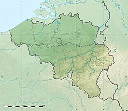
Stavelot is a municipality in the Belgian province of Liège.
In 2022, 7,202 people lived there.
It is at 50° 23 North, 05° 55 East.[1]
References
[change | change source]- ↑ "Geografische coördinaten van de gemeenten (.xls)". Archived from the original on 2004-07-23. Retrieved 2008-07-15.
Wikimedia Commons has media related to Stavelot.


