Rehau
Appearance
Rehau | |
|---|---|
 Rehau | |
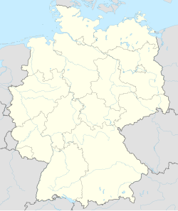
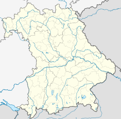
| Coordinates: 50°15′N 12°01′E / 50.250°N 12.017°E | |
| Country | Germany |
| State | Bavaria |
| Admin. region | Oberfranken |
| District | Hof |
| Subdivisions | 6 Ortsteile |
| Government | |
| • Mayor (2020–26) | Michael Abraham[1] (CSU) |
| Area | |
| • Total | 80.34 km2 (31.02 sq mi) |
| Elevation | 528 m (1,732 ft) |
| Population (2022-12-31)[2] | |
| • Total | 9,369 |
| • Density | 120/km2 (300/sq mi) |
| Time zone | UTC+01:00 (CET) |
| • Summer (DST) | UTC+02:00 (CEST) |
| Postal codes | 95111 |
| Dialling codes | 09283 |
| Vehicle registration | HO, REH |
| Website | www.stadt-rehau.de |
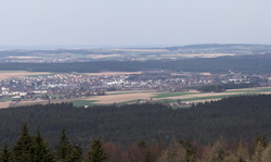
Rehau is a town in Hof, in Bavaria, Germany. The first documented name of Rehau was "Resawe" in the year 1234. Rehau is in the Fichtelgebirge, 12 km southeast of Hof, and 12 km west of Aš. It is near both Czech and former East German borders, with the fall of The Wall, it is now in the center of a growing area, with a new Autobahn providing access from Nuremberg and Munich.
References
[change | change source]- ↑ Liste der ersten Bürgermeister/Oberbürgermeister in kreisangehörigen Gemeinden, Bayerisches Landesamt für Statistik, 15 July 2021.
- ↑ Genesis Online-Datenbank des Bayerischen Landesamtes für Statistik Tabelle 12411-003r Fortschreibung des Bevölkerungsstandes: Gemeinden, Stichtag (Einwohnerzahlen auf Grundlage des Zensus 2011) .


