Olching
Appearance
Olching | |
|---|---|
 Town hall | |
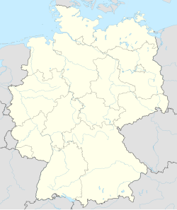
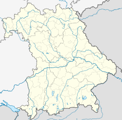
| Coordinates: 48°12′N 11°19′E / 48.200°N 11.317°E | |
| Country | Germany |
| State | Bavaria |
| Admin. region | Oberbayern |
| District | Fürstenfeldbruck |
| Government | |
| • Mayor (2020–26) | Andreas Magg[1] (SPD) |
| Area | |
| • Total | 29.91 km2 (11.55 sq mi) |
| Elevation | 503 m (1,650 ft) |
| Population (2022-12-31)[2] | |
| • Total | 27,927 |
| • Density | 930/km2 (2,400/sq mi) |
| Time zone | UTC+01:00 (CET) |
| • Summer (DST) | UTC+02:00 (CEST) |
| Postal codes | 82140 |
| Dialling codes | 08142 |
| Vehicle registration | FFB |
| Website | www.olching.de |
Olching is a town in Fürstenfeldbruck, in Bavaria, Germany. It is about 20 km (12 mi) northwest of Munich.
Geography
[change | change source]Olching is about halfway between Dachau and Fürstenfeldbruck, and stretches along both sides of the River Amper. There are two lakes to the east of Olching, the Olchinger See (Lake Olching) and Kleiner See (Small Lake), both of which border on the neighbouring community of Gröbenzell.
Twin towns – sister cities
[change | change source]References
[change | change source]- ↑ Liste der ersten Bürgermeister/Oberbürgermeister in kreisangehörigen Gemeinden, Bayerisches Landesamt für Statistik, 15 July 2021.
- ↑ Genesis Online-Datenbank des Bayerischen Landesamtes für Statistik Tabelle 12411-003r Fortschreibung des Bevölkerungsstandes: Gemeinden, Stichtag (Einwohnerzahlen auf Grundlage des Zensus 2011) .
- ↑ "Partnerstädte". olching.de (in German). Olching. Archived from the original on 24 January 2021. Retrieved 28 February 2021.
The initial text content of this site is based upon the German language Wikipedia entry for Olching, Olching in German Wikipedia


