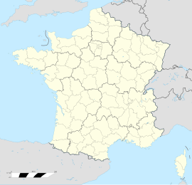
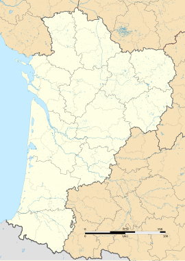
Gomer, Pyrénées-Atlantiques
Appearance
Gomer | |
|---|---|
| Coordinates: 43°15′02″N 0°11′20″W / 43.2506°N 0.1889°W | |
| Country | France |
| Region | Nouvelle-Aquitaine |
| Department | Pyrénées-Atlantiques |
| Arrondissement | Pau |
| Canton | Pontacq |
| Intercommunality | Communauté Ousse-Gabas |
| Government | |
| • Mayor (2008–2014) | André Magendie |
| Area 1 | 3.24 km2 (1.25 sq mi) |
| Population (2006) | 188 |
| • Density | 58/km2 (150/sq mi) |
| Time zone | UTC+01:00 (CET) |
| • Summer (DST) | UTC+02:00 (CEST) |
| INSEE/Postal code | 64246 /64420 |
| Elevation | 277–385 m (909–1,263 ft) (avg. 296 m or 971 ft) |
| 1 French Land Register data, which excludes lakes, ponds, glaciers > 1 km2 (0.386 sq mi or 247 acres) and river estuaries. | |
Gomer, Pyrénées-Atlantiques is a commune of the Pyrénées-Atlantiques département in the southwestern part of France.


