Gambarana
Appearance
Gambarana | |
|---|---|
| Comune di Gambarana | |
| Coordinates: 45°2′N 8°46′E / 45.033°N 8.767°E | |
| Country | Italy |
| Region | Lombardy |
| Province | Province of Pavia (PV) |
| Area | |
| • Total | 11.78 km2 (4.55 sq mi) |
| Elevation | 83 m (272 ft) |
| Population (Dec. 2004)[2] | |
| • Total | 267 |
| • Density | 23/km2 (59/sq mi) |
| Demonym | Gambaranesi |
| Time zone | UTC+1 (CET) |
| • Summer (DST) | UTC+2 (CEST) |
| Postal code | 27030 |
| Dialing code | 0384 |
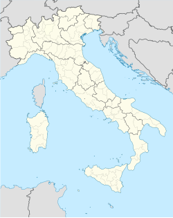
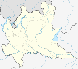
Gambarana is a comune (municipality) in the Province of Pavia in the Italian region of Lombardy. It is about 60 km southwest of Milan and about 35 km southwest of Pavia. As of 31 December 2004, 267 people lived there. It has an area of 11.78 km².[3]
Gambarana is next to these municipalities: Bassignana, Frascarolo, Isola Sant'Antonio, Mede, Pieve del Cairo, Suardi.
Demographic change
[change | change source]
References
[change | change source]- ↑ "Superficie di Comuni Province e Regioni italiane al 9 ottobre 2011". Italian National Institute of Statistics. Retrieved 16 March 2019.
- ↑ "Popolazione Residente al 1° Gennaio 2018". Italian National Institute of Statistics. Retrieved 16 March 2019.
- ↑ All demographics and other statistics: Italian statistical institute Istat.
Other websites
[change | change source] Media related to Gambarana at Wikimedia Commons


