Chiavenna
Appearance
Chiavenna | |
|---|---|
| Comune di Chiavenna | |
 | |
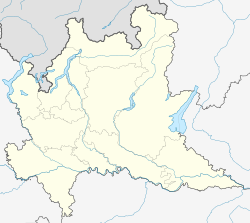
 Chiavenna within the Province of Sondrio | |
| Coordinates: 46°19′N 9°24′E / 46.317°N 9.400°E | |
| Country | Italy |
| Region | Lombardy |
| Province | Sondrio (SO) |
| Frazioni | Campedello, Loreto, Pianazzola, San Carlo |
| Government | |
| • Mayor | Luca Della Bitta |
| Area | |
| • Total | 10.77 km2 (4.16 sq mi) |
| Elevation | 333 m (1,093 ft) |
| Population (31 May 2022)[2] | |
| • Total | 7,149 |
| • Density | 660/km2 (1,700/sq mi) |
| Demonym | Chiavennasque |
| Time zone | UTC+1 (CET) |
| • Summer (DST) | UTC+2 (CEST) |
| Postal code | 23022 |
| Dialing code | 0343 |
| Website | Official website |
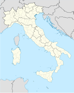
Chiavenna is a comune in the Province of Sondrio in the Italian region of Lombardy.
Geography
[change | change source]The town is on the right bank of the river Mera about 16 kilometres (10 mi) north of Lake Como. The river course leads up to Val Bregaglia in the east and the Swiss border at Castasegna. In the north, the Valle Spluga stretches up to Splügenpass and the road to Chur in Graubünden.
References
[change | change source]- ↑ "Superficie di Comuni Province e Regioni italiane al 9 ottobre 2011". Italian National Institute of Statistics. Retrieved 16 March 2019.
- ↑ All demographics and other statistics: Italian statistical institute Istat.
Other websites
[change | change source]Wikimedia Commons has media related to Chiavenna.
- Official website (in Italian)


