Bouin, Vendée
Appearance
Bouin | |
|---|---|
 The church of Our Lady, in Bouin | |
| Coordinates: 46°58′28″N 2°00′02″W / 46.9744°N 2.0006°W | |
| Country | France |
| Region | Pays de la Loire |
| Department | Vendée |
| Arrondissement | Les Sables-d'Olonne |
| Canton | Saint-Jean-de-Monts |
| Intercommunality | Marais breton Nord |
| Government | |
| • Mayor (2008–2014) | Jean-Yves Gagneux |
| Area 1 | 51.31 km2 (19.81 sq mi) |
| Population (2006) | 2,240 |
| • Density | 44/km2 (110/sq mi) |
| Time zone | UTC+01:00 (CET) |
| • Summer (DST) | UTC+02:00 (CEST) |
| INSEE/Postal code | 85029 /85230 |
| Elevation | 0–6 m (0–20 ft) |
| 1 French Land Register data, which excludes lakes, ponds, glaciers > 1 km2 (0.386 sq mi or 247 acres) and river estuaries. | |
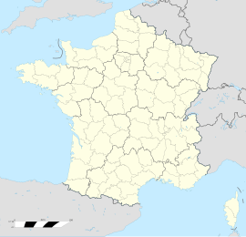
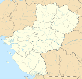
Bouin is a commune. It is found in the region Pays de la Loire in the Vendée department in the west of France.
Related pages
[change | change source]References
[change | change source]Wikimedia Commons has media related to Bouin (Vendée).


