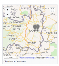
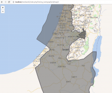
We want to display coordinates produced by a SPARQL query on a map.
The development is based on the existing code to display GeoShapes:
input: id (example) | sparql query (example)
Approach:
- investigation 300042
- proof of concept (see screenshot above)
- define MVP
[x ] investigate best source for GeoPoint coordinates (OSM vs. Wikidata P625) T304859
[x ] Handle QIDs with multiple coordinates T306540
Related feature/epic: T307695: Display coordinate markers in Kartographer maps from QID

