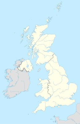
East Hampshire
Aspetto
| Hampshire Orientale distretto | |
|---|---|
| District of East Hampshire | |
| Localizzazione | |
| Stato | |
| Regione | Sud Est |
| Contea | |
| Amministrazione | |
| Capoluogo | Petersfield |
| Esecutivo | Conservatore |
| Territorio | |
| Coordinate del capoluogo | 51°00′N 0°56′W |
| Superficie | 514,44 km² |
| Abitanti | 111 300 (2018) |
| Densità | 216,35 ab./km² |
| Altre informazioni | |
| Fuso orario | UTC+0 |
| Codice ONS | 24UC |
| Rappresentanza parlamentare | Collegio di East Hampshire, di Farnham and Bordon |
| Cartografia | |
 | |
| Sito istituzionale | |
L'East Hampshire è un distretto dell'Hampshire, Inghilterra, Regno Unito, con sede a Petersfield.
Parrocchie civili
[modifica | modifica wikitesto]- Alton
- Beech
- Bentley
- Bentworth
- Binsted
- Bramshott and Liphook
- Buriton
- Chawton
- Clanfield
- Colemore and Priors Dean
- East Meon
- East Tisted
- Farringdon
- Four Marks
- Froxfield
- Froyle
- Grayshott
- Greatham
- Hawkley
- Headley
- Horndean
- Kingsley
- Langrish
- Lasham
- Lindford
- Liss
- Medstead
- Newton Valence
- Petersfield
- Ropley
- Rowlands Castle
- Selborne
- Shalden
- Steep
- Stroud
- West Tisted
- Whitehill
- Wield
- Worldham
Altri progetti
[modifica | modifica wikitesto] Wikimedia Commons contiene immagini o altri file su East Hampshire
Collegamenti esterni
[modifica | modifica wikitesto]- Sito ufficiale, su easthants.gov.uk.
- (EN) East Hampshire, su Enciclopedia Britannica, Encyclopædia Britannica, Inc.
| Controllo di autorità | VIAF (EN) 138380495 · LCCN (EN) n81015927 · J9U (EN, HE) 987007548165005171 |
|---|

