South Cockerington
Appearance
| South Cockerington | |
|---|---|
 Church of St Leonard, South Cockerington | |
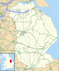
Location within Lincolnshire | |
| Population | 245 (2011)[1] |
| OS grid reference | TF381892 |
| • London | 135 mi (217 km) S |
| District | |
| Shire county | |
| Region | |
| Country | England |
| Sovereign state | United Kingdom |
| Post town | Louth |
| Postcode district | LN11 |
| Police | Lincolnshire |
| Fire | Lincolnshire |
| Ambulance | East Midlands |
| UK Parliament | |
South Cockerington is a village and civil parish in the East Lindsey district of Lincolnshire, England. It is situated approximately 4 miles (6 km) east from the market town of Louth.
The parish church is a Grade I listed building dedicated to Saint Leonard dating from the early 14th century, and restored in 1872–73. It is built from greenstone, limestone and brick. Inside there is a 15th-century font, and an alabaster monument to Sir Adrian Scrope who died in 1623, attributed to Epiphanius Evesham.[2]
South Cockerington Hall was demolished in 1926.[3]
In the village were four almshouses which are now a Grade II listed house, dating from about 1890, built in red brick.[4]
See also
[edit]References
[edit]- ^ "Parish population 2011". Retrieved 19 August 2015.
- ^ Historic England. "St Leonards church, South Cockerington (1309123)". National Heritage List for England. Retrieved 20 July 2011.
- ^ "Cockerington Hall". Englands Lost Country Houses. Matthew Beckett. Archived from the original on 22 July 2011. Retrieved 20 July 2011.
- ^ Historic England. "Almshouses, South Cockerington (1359974)". National Heritage List for England. Retrieved 20 July 2011.
External links
[edit] Media related to South Cockerington at Wikimedia Commons
- "South Cockerington", Genuki.org.uk. Retrieved 27 October 2011
