Soroako Airport
Appearance
Soroako Airport Bandara Soroako | |||||||||||
|---|---|---|---|---|---|---|---|---|---|---|---|
| Summary | |||||||||||
| Airport type | Public | ||||||||||
| Owner | Vale Indonesia | ||||||||||
| Operator | Government | ||||||||||
| Serves | Soroako | ||||||||||
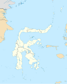
| Location | East Luwu Regency, South Sulawesi, Sulawesi Island, Indonesia | ||||||||||
| Time zone | WITA (UTC+08:00) | ||||||||||
| Elevation AMSL | 423 m / 1,388 ft | ||||||||||
| Coordinates | 02°31′52.33″S 121°21′27.50″E / 2.5312028°S 121.3576389°E[1] | ||||||||||
| Map | |||||||||||
 | |||||||||||
| Runways | |||||||||||
| |||||||||||
Soroako Airport is an airport in Soroako, Indonesia. In 2016, the government decided to lengthen the runway from 1,050m to 1,350m so that the airport could accommodate ATR 72s.[2]
Airlines and destinations
[edit]The following destinations are served from Soroako Airport:
| Airlines | Destinations |
|---|---|
| Indonesia Air Transport | Makassar |
| Susi Air | Makassar |
References
[edit]2°32′16″S 121°16′58″E / 2.537698°S 121.282840°E
