Shark Bay Airport
Appearance
Monkey Mia Airport | |||||||||||
|---|---|---|---|---|---|---|---|---|---|---|---|
| Summary | |||||||||||
| Airport type | Public | ||||||||||
| Owner | Shire of Shark Bay | ||||||||||
| Operator | RAC Tourism Assets Pty Ltd | ||||||||||
| Location | Denham, Western Australia | ||||||||||
| Opened | 1954[1][2][3][4][5] | ||||||||||
| Elevation AMSL | 111 ft / 34 m | ||||||||||
| Coordinates | 25°53′36″S 113°34′36″E / 25.89333°S 113.57667°E | ||||||||||
| Map | |||||||||||
 | |||||||||||
| Runways | |||||||||||
| |||||||||||
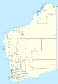
Monkey Mia Airport (IATA: MJK, ICAO: YSHK) is an airport located on the Peron Peninsula within the Shark Bay World Heritage Site in the Gascoyne region serving Monkey Mia, a resort in Western Australia, and the nearby town of Denham.
Airlines and destinations
[edit]| Airlines | Destinations |
|---|---|
| Rex Airlines | Carnarvon, Perth |
See also
[edit]References
[edit]- ^ "Passenger Service Opens To Shark Bay Airport". Northern Times. Vol. 78, no. 44. Western Australia. 4 November 1954. p. 1. Retrieved 9 August 2019 – via National Library of Australia.
- ^ "Minister Told of Need For Airstrip". The West Australian. Vol. 69, no. 20, 737. Western Australia. 6 January 1953. p. 4. Retrieved 9 August 2019 – via National Library of Australia.
- ^ "Shark Bay's Claim For Aerodrome". The West Australian. Vol. 68, no. 20, 443. Western Australia. 26 January 1952. p. 7. Retrieved 9 August 2019 – via National Library of Australia.
- ^ "Aerodrome Started". Northern Times. Vol. 78, no. 1. Western Australia. 7 January 1954. p. 1. Retrieved 9 August 2019 – via National Library of Australia.
- ^ "New Airport at Shark Bay". Northern Times. Vol. 78, no. 18. Western Australia. 6 May 1954. p. 5. Retrieved 9 August 2019 – via National Library of Australia.
- ^ YSHK – Shark Bay (PDF). AIP En Route Supplement from Airservices Australia, effective 13 June 2024
External links
[edit]
