Saint-Avit, Loir-et-Cher
Appearance
Saint-Avit | |
|---|---|
Part of Couëtron-au-Perche | |
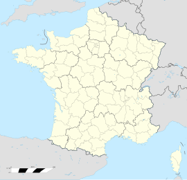
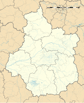
| Coordinates: 48°05′33″N 0°55′01″E / 48.0925°N 0.9169°E | |
| Country | France |
| Region | Centre-Val de Loire |
| Department | Loir-et-Cher |
| Arrondissement | Vendôme |
| Canton | Le Perche |
| Commune | Couëtron-au-Perche |
Area 1 | 14.83 km2 (5.73 sq mi) |
| Population (2019)[1] | 95 |
| • Density | 6.4/km2 (17/sq mi) |
| Time zone | UTC+01:00 (CET) |
| • Summer (DST) | UTC+02:00 (CEST) |
| Postal code | 41170 |
| Elevation | 156–240 m (512–787 ft) (avg. 207 m or 679 ft) |
| 1 French Land Register data, which excludes lakes, ponds, glaciers > 1 km2 (0.386 sq mi or 247 acres) and river estuaries. | |
Saint-Avit is a former commune in the Loir-et-Cher department of central France.[2] On 1 January 2018, it was merged into the new commune of Couëtron-au-Perche.[3]
Population
[edit]
|
|
See also
[edit]References
[edit]- ^ Téléchargement du fichier d'ensemble des populations légales en 2019, INSEE
- ^ Des villages de Cassini aux communes d'aujourd'hui: Commune data sheet Saint-Avit, EHESS (in French).
- ^ Arrêté préfectoral 10 July 2017 (in French)
Wikimedia Commons has media related to Saint-Avit (Loir-et-Cher).


