Quri Kunka
Appearance
| Quri Kunka | |
|---|---|
| Highest point | |
| Elevation | 4,600 m (15,100 ft)[1] |
| Coordinates | 14°28′34″S 70°12′40″W / 14.47611°S 70.21111°W |
| Geography | |
| Location | Peru, Puno Region, Azángaro Province |
| Parent range | Andes |
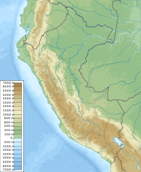
Quri Kunka (Quechua quri gold, kunka throat, gullet,[2] "gold throat" or "gold gullet", Hispanicized spelling Joricunca) is a mountain in the Peruvian Andes, about 4,600 metres (15,092 ft) high. It is located in the Puno Region, Azángaro Province, San Antón District. Quri Kunka lies southwest of the mountain Ichhu Muruq'u and northwest of Yuraq Apachita.[1]
References
[edit]- ^ a b escale.minedu.gob.pe - UGEL map of the Azángaro Province (Puno Region)
- ^ Teofilo Laime Ajacopa (2007). Diccionario Bilingüe: Iskay simipi yuyayk’anch: Quechua – Castellano / Castellano – Quechua (PDF). La Paz, Bolivia: futatraw.ourproject.org.
