Pratt River
Appearance
| Pratt River | |
|---|---|
| Location | |
| Country | United States |
| State | Washington |
| County | King County |
| Physical characteristics | |
| Source | Upper Melakwa Lake |
| • location | North Cascades |
| Mouth | Middle Fork Snoqualmie River |
• coordinates | 47°31′31″N 121°35′10″W / 47.52528°N 121.58611°W[1] |
| Type | Wild |
| Designated | December 19, 2014 |
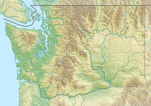
The Pratt River is a river in King County in Washington. It is a tributary of the Middle Fork Snoqualmie River. It was named for prospector George A Pratt, who discovered nearby iron deposits in 1887.[2]
The river has its headwaters in tiny Upper Melakwa Lake. The river starts out as a small stream upon exiting the lake. The river soon enters much larger and better known Melakwa Lake. The river after exiting Melakwa Lake, drops down the headwall below the lake starts to turn north. The river flows generally north until it converges with the Middle Fork Snoqualmie River.
Tributaries
[edit]- Tushohatchie Creek
- Kulla Kulla Creek
- Kaleetan Creek
- Thompson Creek
See also
[edit]References
[edit]- ^ U.S. Geological Survey Geographic Names Information System: Pratt River
- ^ Majors, Harry M. (1975). Exploring Washington. Van Winkle Publishing Co. p. 90. ISBN 978-0-918664-00-6.
External links
[edit]- U.S. Geological Survey Geographic Names Information System: Upper Melakwa Lake
- U.S. Geological Survey Geographic Names Information System: Melakwa Lake

