Mutarazi Falls
Appearance
| Mutarazi Falls | |
|---|---|
 Mutarazi Fall | |
 | |
| Location | Mutasa District, Manicaland Province, Zimbabwe |
| Coordinates | 18°29′02″S 32°47′28″E / 18.4840265°S 32.7912151°E |
| Total height | 772 meters |
| World height ranking | 17th |
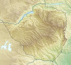
Mutarazi Falls is a waterfall in Mutasa District in Manicaland Province, Zimbabwe.[1][2][3] It is located in the 2,495 hectare Mutarazi National Park adjacent to the southern border of the Nyanga National Park.[2]
Description
[edit]The water falls into Honde Valley in two tiers, at a point where the Mtarazi river flows over the edge of the eastern escarpment of Zimbabwe's highlands.
See also
[edit]References
[edit]- ^ "Mtarazi Falls – Zimbabwe A World of Wonders". Retrieved 22 October 2023.
- ^ a b "Mutarazi Falls". Fambayi (Travel) Zimbabwe's Best Travel Guides. Retrieved 22 October 2023.
- ^ "Worlds highest zip line opens". www.bushtracksafrica.com. Retrieved 22 October 2023.
External links
[edit]Wikimedia Commons has media related to Mutarazi Falls.
