Lake Saint-Louis
| Lake Saint-Louis Lac Saint-Louis (French) | |
|---|---|
 Lake St. Louis at St-Anne-de-Bellevue looking towards Île Perrot | |
 Lake Saint-Louis Lac Saint-Louis (French) | |
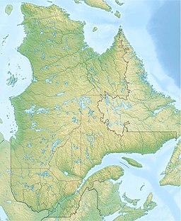
 Location map | |
| Location | Montérégie region, southwestern Quebec |
| Coordinates | 45°24′05″N 73°48′51″W / 45.40139°N 73.81417°W |
| Type | Natural |
| Primary inflows | Beauharnois Canal, Saint Lawrence River, Ottawa River, Saint-Charles River |
| Primary outflows | Saint Lawrence River |
| Basin countries | Canada |
| Surface elevation | 21 m (69 ft) |
| Settlements | Montreal |
Lake Saint-Louis is a lake in southwestern Quebec, Canada, at the confluence of the Saint Lawrence and Ottawa rivers. The Saint Lawrence Seaway passes through the lake.
Lake St. Louis is a widening of the St. Lawrence River in the Hochelaga Archipelago. It is also fed by the Ottawa River via the Lake of Two Mountains at Sainte-Anne-de-Bellevue, the Beauharnois Canal, the Soulanges Canal, the Saint-Louis River, and the Châteauguay River.
The lake is bounded to the north and the east by the Island of Montreal, by Beauharnois-Salaberry, Roussillon, and Vaudreuil-Soulanges. The town of Beauharnois with its power-dam and canal lie to the south.
The West Island shore is mostly built up with private houses, but it includes some parks and clubs such as the Pointe-Claire Canoe Club, and the Pointe-Claire Yacht Club. Islands in the lake include Dorval and Dowker Islands. Lake St. Louis is the second of three fluvial lakes on the St. Lawrence River; upstream of it is Lake Saint Francis, and downstream is Lake Saint Pierre. Lake St. Louis has an average flow of 8,400 cubic metres per second (300,000 cu ft/s).[1]
The lake has many species of fish, including yellow perch.
A small map by Samuel Champlain of 1611 names the lake. The same year, Champlain reported that a young man named Louys was drowned in what is now known as the Lachine Rapids, and in 1870 Charles-Honoré Laverdière stated that the rapids, and later the lake, were named in honour of the drowned man. A 1656 Jesuit account describes a crossing «Lac Saint Louys».[2]
In 2014 there was a report of fecal coliform flowing into the lake from a Beaconsfield creek,[3] and of PCBs flowing into it from a Pointe-Claire industrial site.[4]
References
[edit]- ^ Environment Canada - fluvial lakes of the St. Lawrence Archived 2014-07-08 at the Wayback Machine
- ^ "Lac Saint-Louis". Commission de toponymie. Retrieved 25 June 2014.
- ^ "Beaconsfield residents had no idea backyard creek was polluted with fecal coliform". www.cbc.ca. Retrieved 2016-04-09.
- ^ "Pointe-Claire pays $435,000 cleanup bill at PCB site on Hymus". Montreal Gazette. Retrieved 2016-04-09.