Hazel Dell, Comanche County, Texas
Appearance
Hazel Dell, Texas | |
|---|---|
| Coordinates: 31°52′54″N 98°19′55″W / 31.88167°N 98.33194°W | |
| Country | United States |
| State | Texas |
| County | Comanche |
| Elevation | 1,135 ft (346 m) |
| Time zone | UTC-6 (Central (CST)) |
| • Summer (DST) | UTC-5 (CDT) |
| Area code | 325 |
| GNIS feature ID | 1378432[1] |
Hazel Dell, also spelled Hazeldell, is an unincorporated community located in Comanche County, in the U.S. state of Texas.[1]
Geography
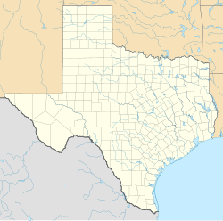
[edit]Hazel Dell is located at the intersection of Farm to Market Roads 591 and 1702, 17 mi (27 km) southeast of Comanche in southeastern Comanche County.[2]
Education
[edit]Hazel Dell had a school from 1873 to the 1940s, whereupon it joined the Gustine Independent School District.[2] The community continues to be served by the Gustine ISD to this day.
References
[edit]- ^ a b c U.S. Geological Survey Geographic Names Information System: Hazel Dell, Comanche County, Texas
- ^ a b Waring, Margaret Tate. "Hazel Dell, TX (Comanche County)". tshaonline.org. Retrieved January 30, 2022.


