Goyencourt
Appearance
Goyencourt | |
|---|---|
 The town hall in Goyencourt | |
| Coordinates: 49°43′35″N 2°45′59″E / 49.7264°N 2.7664°E | |
| Country | France |
| Region | Hauts-de-France |
| Department | Somme |
| Arrondissement | Montdidier |
| Canton | Roye |
| Intercommunality | CC Grand Roye |
| Government | |
| • Mayor (2020–2026) | Valérie Bauduin[1] |
Area 1 | 5.38 km2 (2.08 sq mi) |
| Population (2021)[2] | 95 |
| • Density | 18/km2 (46/sq mi) |
| Time zone | UTC+01:00 (CET) |
| • Summer (DST) | UTC+02:00 (CEST) |
| INSEE/Postal code | 80383 /80700 |
| Elevation | 77–99 m (253–325 ft) (avg. 90 m or 300 ft) |
| 1 French Land Register data, which excludes lakes, ponds, glaciers > 1 km2 (0.386 sq mi or 247 acres) and river estuaries. | |
Goyencourt is a commune in the Somme department in Hauts-de-France in northern France.
Geography
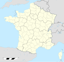
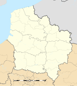
[edit]Goyencourt is situated at the D34 and D132 crossroads, some 27 miles (43 km) southeast of Amiens. Cereal growing is the primary agricultural activity.
History
[edit]- The vestiges of a Gallo-Roman villa can be found within the boundaries of the commune.
- In the 8th and 9th century, the village was under the control of the abbey of Ourscamp.
- Middle Age: Lords of Gossencourt ("Goyencourt").
- In 1653, during the upheaval of the Fronde, the village was ransacked by the Spanish army, led by Louis II de Bourbon, Prince de Condé, who laid siege to Roye.
- By 1918, at the end of the First World War, the village and the chateau lay in ruins.
Population
[edit]| Year | Pop. | ±% p.a. |
|---|---|---|
| 1968 | 115 | — |
| 1975 | 106 | −1.16% |
| 1982 | 96 | −1.41% |
| 1990 | 98 | +0.26% |
| 1999 | 89 | −1.06% |
| 2007 | 95 | +0.82% |
| 2012 | 95 | +0.00% |
| 2017 | 94 | −0.21% |
| Source: INSEE[3] | ||
Places of interest
[edit]- The modern church of Saint-Martin
- The chapel of Notre-Dame-de-Liesse
See also
[edit]References
[edit]- ^ "Répertoire national des élus: les maires". data.gouv.fr, Plateforme ouverte des données publiques françaises (in French). 2 December 2020.
- ^ "Populations légales 2021" (in French). The National Institute of Statistics and Economic Studies. 28 December 2023.
- ^ Population en historique depuis 1968, INSEE
External links
[edit]Wikimedia Commons has media related to Goyencourt.
- Goyencourt Tourist Office (in French)


