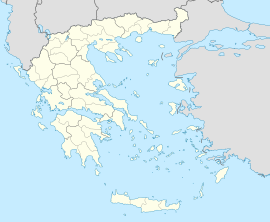
Gonia
Appearance
Gonia
Γωνιά | |
|---|---|
 The centre of the village | |
| Coordinates: 35°19′22″N 24°25′10″E / 35.3228°N 24.4194°E | |
| Country | Greece |
| Administrative region | Crete |
| Regional unit | Rethymno |
| Municipality | Rethymno |
| Municipal unit | Nikiforos Fokas |
| Population (2021)[1] | |
• Community | 565 |
| Time zone | UTC+2 (EET) |
| • Summer (DST) | UTC+3 (EEST) |
Gonia (Greek: Γωνιά) is a village in the Rethymno regional unit in Crete, Greece, lying at an altitude of ca. 222 m amsl, about 10 km southwest of the town of Rethymno. Gonia was the seat of the former municipality Nikiforos Fokas.[2]
References
[edit]- ^ "Αποτελέσματα Απογραφής Πληθυσμού - Κατοικιών 2021, Μόνιμος Πληθυσμός κατά οικισμό" [Results of the 2021 Population - Housing Census, Permanent population by settlement] (in Greek). Hellenic Statistical Authority. 29 March 2024.
- ^ Γωνιά (Ρεθύμνης), EETAA local government changes
