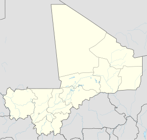
Gathi-Loumbo
Appearance
Gathi-Loumbo | |
|---|---|
Village | |
| Coordinates: 15°28′12″N 4°36′44″W / 15.47000°N 4.61222°W | |
| Country | |
| Region | Mopti Region |
| Cercle | Youwarou Cercle |
| Commune | Farimaké |
| Time zone | UTC+0 (GMT) |
Gathi-Loumbo (or Gatié Loumo on some maps) is a village and seat of the commune of Farimaké in the Cercle of Youwarou in the Mopti Region of southern-central Mali.[1]
References
[edit]- ^ Communes de la Région de Mopti (PDF) (in French), Ministère de l’administration territoriale et des collectivités locales, République du Mali, archived from the original (PDF) on 2012-03-09.

