Eoline, Alabama
Appearance
Eoline, Alabama | |
|---|---|
 Eoline Baptist Church | |
| Coordinates: 32°59′42″N 87°13′56″W / 32.99500°N 87.23222°W | |
| Country | United States |
| State | Alabama |
| County | Bibb |
| Elevation | 276 ft (84 m) |
| Population (2020) | |
• Total | 4,269 |
| Time zone | UTC-6 (Central (CST)) |
| • Summer (DST) | UTC-5 (CDT) |
| Area code(s) | 205, 659 |
| GNIS feature ID | 159575[1] |
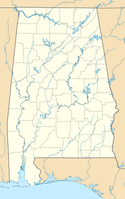
Eoline /iˈoʊ.lɪn/ is an unincorporated community in Bibb County, Alabama, United States. Eoline is located on U.S. Route 82, 8.1 miles (13.0 km) northwest of Centreville. During the 2011 Super Outbreak, the Eoline Fire Department was destroyed by an EF3 tornado.[2]
History
[edit]The community was located on the Mobile and Ohio Railroad and was named after the daughter of the M&O Vice-President, Edward Russell.[3] At one point, Eoline was home to three stores, a boarding stable, hotel, and newspaper.[4] A post office operated under the name Eoline from 1898 to 1957.[5]
References
[edit]- ^ "Eoline". Geographic Names Information System. United States Geological Survey, United States Department of the Interior.
- ^ Narramore, Jen; Wilkes, Tucker-Nick. "Sawyer-Eoline, AL EF3 Tornado - April 27, 2011". Tornado Talk. Retrieved February 11, 2024.
- ^ Foscue, Virginia (1989). Place Names in Alabama. Tuscaloosa: The University of Alabama Press. p. 53. ISBN 0-8173-0410-X.
- ^ Rhoda C. Ellison (February 17, 1999). Bibb County, Alabama: The First Hundred Years. University of Alabama Press. p. 197. ISBN 978-0-8173-0987-9.
- ^ "Bibb County". Jim Forte Postal History. Retrieved November 30, 2015.


