Dägeling
Appearance
Dägeling | |
|---|---|
| Coordinates: 53°52′49″N 9°31′45″E / 53.88028°N 9.52917°E | |
| Country | Germany |
| State | Schleswig-Holstein |
| District | Steinburg |
| Municipal assoc. | Krempermarsch |
| Government | |
| • Mayor | Claus Wilke (CDU) |
| Area | |
• Total | 7.53 km2 (2.91 sq mi) |
| Elevation | 20 m (70 ft) |
| Population (2022-12-31)[1] | |
• Total | 1,031 |
| • Density | 140/km2 (350/sq mi) |
| Time zone | UTC+01:00 (CET) |
| • Summer (DST) | UTC+02:00 (CEST) |
| Postal codes | 25578 |
| Dialling codes | 04821 |
| Vehicle registration | IZ |
| Website | www.daegeling.de |
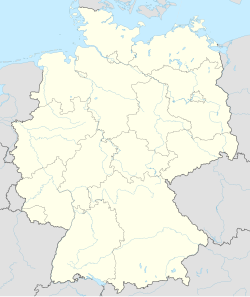
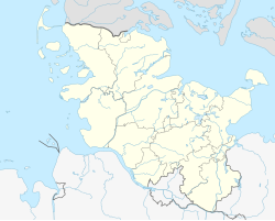
Dägeling is a municipality in the district of Steinburg, in Schleswig-Holstein, Germany.
History
[edit]The village was first mentioned in a document in 1427 as Dodelinghe. It was owned by Bordesholm Monastery, from which Johann Rantzau bought it in 1526.[2]
From 1890 to 1938 the village belonged to the district of Lägerdorf, from 1938 to 1969 to the district and from 1948 to the office of Neuenbrook. Since 1969 it has belonged to the Krempermarsch district.
References
[edit]- ^ "Bevölkerung der Gemeinden in Schleswig-Holstein 4. Quartal 2022" (XLS) (in German). Statistisches Amt für Hamburg und Schleswig-Holstein.
- ^ "Gemeinde Dägeling". www.daegeling.de. Retrieved 2023-09-11.


