Castaños
Appearance
Castaños | |
|---|---|
 Castaños in 2019 | |
| Coordinates: 26°47′3″N 101°25′58″W / 26.78417°N 101.43278°W | |
| Country | |
| State | Coahuila |
| Municipality | Castaños |
| Population (2000) | |
• Total | 22,401 |
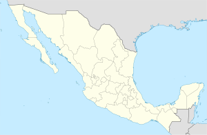
Castaños is a city in the northern Mexican state of Coahuila. It is located at 101° 25' 58" West, 26° 47' 3" North, in the state's central region (Región Centro).
External links
[edit]- (in Spanish) Municipal information on Coahuila state website

