Bumburet
Bumburait
وادی بمبوریت | |
|---|---|
 | |
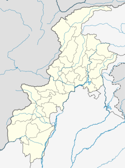
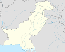
| Coordinates: 35°42′2″N 71°41′30″E / 35.70056°N 71.69167°E | |
| Country | |
| State | Khyber Pakhtunkhwa |
| District | Lower Chitral District |
| Elevation | 2,288 m (7,507 ft) |
| Population (2024) | |
| • Total | 5,000 |
| Languages | |
| • Official | Urdu |
| • Native | Chitrali language |
| Time zone | UTC+5 (PST) |
Bumburait (Kalasha: Mumuret, Urdu: وادی بمبوریت) is the largest valley of Kalasha Desh in Lower Chitral District, Khyber Pakhtunkhwa the province of Pakistan.[1]
Geographics
[edit]The Bumburet valley joins the Rumbur valley at 35°44′20″N 71°43′40″E / 35.73889°N 71.72778°E 2,288 metres (7,507 ft), and then joins the Kunar Valley at the village of Ayun (35°42′52″N 71°46′40″E / 35.71444°N 71.77778°E, 1,400 metres (4,600 ft), some 20 kilometres (12 mi) south (downstream) of Chitral. To the west the valley rises to a pass connecting to Afghanistan's Nuristan Province at about 4,500 metres (14,800 ft). The valley is inhabited by the Kalash people, and has become a tourist destination.[2] However, their population is rapidly declining. As of 2019, only 37 households existed in the valley that still followed traditional practices.[3]
Demographics
[edit]Bumburait population is rapidly increasing. the current population is 5000. Most of peoples are here Kalash people, Chitrali people are second largest group of people.
Crops
[edit]main crops are apples, wallnuts, grapes, apricot, wheat, maize, potato and mungbean. The land is included in fertile land of Lower Chitral District.
Religion
[edit]Majority of population in Bumburait are Polytheist Kalashs. Islam is second largest religion.
Roads
[edit]NHA road is also constructed here.[4]
Mosque
[edit]Muslim community is rapidly increasing here morethan 300 muslims are residing in this valley. Bumburait valley have many muslims a mosque is constructed with the worth of 5 lacks.Bumburet Valley is also home to a number of interesting historical site such as Madyan Mosque. a mosque is also constructed here in 2019.[5]
Educational Institutions
[edit]literacy rate in this valley is 49% normal than other valleys in this region.
- Madrasa and Rehbar Public School
- GHS Bumburait
- Government Primary School
References
[edit]- ^ "Bumburet Valley | Pakistan Tourism Portal". paktourismportal.com. Retrieved 31 December 2022.
- ^ TP (15 August 2017). "Bumburet Valley". Today Pakistan. Archived from the original on 13 January 2021. Retrieved 28 September 2020.
- ^ Exports and Economic Growth: Empirical Evidence from Canada Researchgate Retrieved 3 April 2023
- ^ https://www.radio.gov.pk/10-02-2023/chitral-shandur-road-infrastructure-project-to-be-completed-by-december-next-year-senate-told
- ^ https://chitraltimes.com/%D8%A8%D9%85%D8%A8%D9%88%D8%B1%DB%8C%D8%AA-%DA%A9%DB%92-%D9%85%D8%B3%D8%AC%D8%AF-%DA%A9%DB%8C-%D8%AA%D8%B9%D9%85%DB%8C%D8%B1-%D9%86%D9%88-%DA%A9%DB%8C%D9%84%D8%A6%DB%92-%D8%A7%DB%8C%D9%85-%D9%BE%DB%8C
Kochetov, A., Arsenault, P., Petersen, J., Kalas, S., & Kalash, T. (2020). Kalasha (Bumburet variety). Journal of the International Phonetic Association, 1-22. doi:10.1017/S0025100319000367
Naeem, H., Rana, A., R., & Sarfarz, N. (June 2011). Attitude Measurement and Testing: An Empirical Study of Kalash People in Pakistan. INTERDISCIPLINARY JOURNAL OF CONTEMPORARY RESEARCH IN BUSINESS, vol 3, No 2.
External links
[edit]![]() Media related to Bumburet Valley at Wikimedia Commons
Media related to Bumburet Valley at Wikimedia Commons

