Berzo San Fermo
Appearance
Berzo San Fermo | |
|---|---|
| Comune di Berzo San Fermo | |
| Coordinates: 45°43′N 09°54′E / 45.717°N 9.900°E | |
| Country | Italy |
| Region | Lombardy |
| Province | Bergamo (BG) |
| Government | |
| • Mayor | Luciano Trapletti |
| Area | |
| • Total | 5.86 km2 (2.26 sq mi) |
| Elevation | 365 m (1,198 ft) |
| Population (30 April 2017)[2] | |
| • Total | 1,370 |
| • Density | 230/km2 (610/sq mi) |
| Demonym | Berzesi |
| Time zone | UTC+1 (CET) |
| • Summer (DST) | UTC+2 (CEST) |
| Postal code | 24060 |
| Dialing code | 035 |
| Website | Official website |
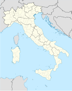
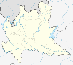
Berzo San Fermo (Bergamasque: Bèrs San Fìrem) is a comune in the province of Bergamo, in Lombardy.
Bounding comuni
[edit]Coat of arms
[edit]The coat of arms shows a tree, a cow and a blue star on a yellow background.[3]
References
[edit]- ^ "Superficie di Comuni Province e Regioni italiane al 9 ottobre 2011". Italian National Institute of Statistics. Retrieved 16 March 2019.
- ^ ISTAT Archived March 3, 2016, at the Wayback Machine
- ^ "araldicacivica.it". Archived from the original on 2016-03-03. Retrieved 2014-05-15.


