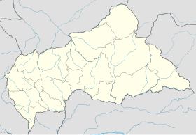
Bakala, Central African Republic
Appearance
Bakala | |
|---|---|
Sub-prefecture and town | |
 Sub-prefectures of Ouaka | |
| Coordinates: 6°11′N 20°22′E / 6.183°N 20.367°E | |
| Country | |
| Prefecture | Ouaka |
| Government | |
| • Sub-Prefect | Mahamat Awat[1] |
| Time zone | UTC+1 (WAT) |
Bakala is a sub-prefecture and town in the Ouaka Prefecture of the southern-central Central African Republic. It is located near the geographic center of the country.
History
[edit]On 30 November 2016, FPRC armed group captured Bakala from UPC group after battle. It was recaptured by UPC on 11 December, but snatched again by FPRC on 11 January 2017.[2] In April 2017 Bakala was reportedly under the joint control of FPRC and Anti-balaka.[3] The town was recaptured by government forces on 10 April 2021.[4]
References
[edit]- ^ Oubangui Medias, Oubangui Medias. "Centrafrique : Décrets portant nomination des Gouverneurs, des Préfets et des Sous-Préfets". oubanguimedias.com. Oubangui Medias. Retrieved 6 June 2024.
- ^ Violations and Abuses of Human Rights and Violations of International Humanitarian Law by the FPRC Coalition and the UPC in Haute-Kotto and Ouaka between 21 November 2016 and 21 February 2017
- ^ IPIS Map CAR v2
- ^ RCA : les villes de Bakala et Mourouba reprises par les forces loyalistes, 10 April 2021

