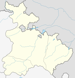
Debedavan
Appearance
41°14′N 44°51′E / 41.233°N 44.850°E
Debedavan
Դեբեդավան | |
|---|---|
 A view of Debedavan | |
| Coordinates: 41°14′N 44°51′E / 41.233°N 44.850°E | |
| Country | Armenia |
| Province | Tavush |
| Municipality | Noyemberyan |
| Population | |
| • Total | 669 |
| Time zone | UTC+4 (AMT) |
| Debedavan at GEOnet Names Server | |
Debedavan (Template:Lang-hy) is a village in the Noyemberyan Municipality of the Tavush Province of Armenia, located near the Armenia–Georgia border. The village was populated by Azerbaijanis till 1998, when Nagorno-Karabakh_conflict tensions between Armenians and Azerbaijanis escalated.[2]
Debedavan is known as the lowest point (ca. 370 m. above the sea level) in Armenia.
References
- ^ Statistical Committee of Armenia. "The results of the 2011 Population Census of Armenia" (PDF).
- ^ Kiesling, Brady (June 2000). Rediscovering Armenia: An Archaeological/Touristic Gazetteer and Map Set for the Historical Monuments of Armenia (PDF). Archived (PDF) from the original on 6 November 2021.
External links
- Report of the results of the 2001 Armenian Census, Statistical Committee of Armenia
- Kiesling, Brady (June 2000). Rediscovering Armenia: An Archaeological/Touristic Gazetteer and Map Set for the Historical Monuments of Armenia (PDF). Archived (PDF) from the original on 6 November 2021.


