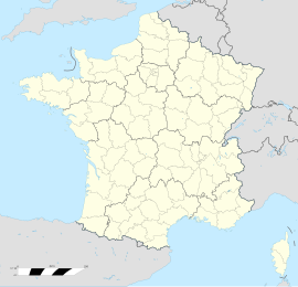
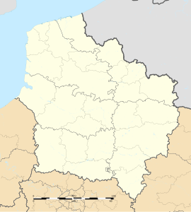
Montigny-en-Gohelle is a commune in the Pas-de-Calais department in the Hauts-de-France region of France.[3]
Montigny-en-Gohelle | |
|---|---|
 The church of Montigny-en-Gohelle | |
| Coordinates: 50°25′43″N 2°55′51″E / 50.4286°N 2.9308°E | |
| Country | France |
| Region | Hauts-de-France |
| Department | Pas-de-Calais |
| Arrondissement | Lens |
| Canton | Hénin-Beaumont-1 |
| Intercommunality | CA Hénin-Carvin |
| Government | |
| • Mayor (2020–2026) | Marcello Della Franca[1] |
Area 1 | 3.5 km2 (1.4 sq mi) |
| Population (2021)[2] | 9,870 |
| • Density | 2,800/km2 (7,300/sq mi) |
| Time zone | UTC+01:00 (CET) |
| • Summer (DST) | UTC+02:00 (CEST) |
| INSEE/Postal code | 62587 /62640 |
| Elevation | 23–42 m (75–138 ft) |
| 1 French Land Register data, which excludes lakes, ponds, glaciers > 1 km2 (0.386 sq mi or 247 acres) and river estuaries. | |
Geography
editMontigny-en-Gohelle is former coalmining town, nowadays a light industrial and dormitory town, 7 miles (11 km) east of Lens, on the D46, D39e and the N43 roads. The A21 autoroute runs straight through the commune.
Population
editGraphs are unavailable due to technical issues. There is more info on Phabricator and on MediaWiki.org. |
| Year | Pop. | ±% p.a. |
|---|---|---|
| 1968 | 8,908 | — |
| 1975 | 9,232 | +0.51% |
| 1982 | 11,140 | +2.72% |
| 1990 | 10,629 | −0.59% |
| 1999 | 10,558 | −0.07% |
| 2007 | 10,338 | −0.26% |
| 2012 | 10,326 | −0.02% |
| 2017 | 10,198 | −0.25% |
| Source: INSEE[4] | ||
Places of interest
edit- The church of St.Madeleine, rebuilt along with most of the town, after the First World War.
Twin Towns
edit- Hrastnik
- Stollberg
- Johannesburg
- Tamási
- Ruda Śląska
See also
editReferences
edit- ^ "Répertoire national des élus: les maires". data.gouv.fr, Plateforme ouverte des données publiques françaises (in French). 9 August 2021.
- ^ "Populations légales 2021" (in French). The National Institute of Statistics and Economic Studies. 28 December 2023.
- ^ INSEE commune file
- ^ Population en historique depuis 1968, INSEE
External links
editWikimedia Commons has media related to Montigny-en-Gohelle.


