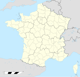
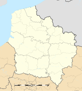
Libercourt (French pronunciation: [libɛʁkuʁ]) is a commune in the Pas-de-Calais department in the Hauts-de-France region of France.[3]
Libercourt | |
|---|---|
 Main street (Rue Cyprien Quinet) | |
| Coordinates: 50°29′05″N 3°00′53″E / 50.4847°N 3.0147°E | |
| Country | France |
| Region | Hauts-de-France |
| Department | Pas-de-Calais |
| Arrondissement | Lens |
| Canton | Carvin |
| Intercommunality | CA Hénin-Carvin |
| Government | |
| • Mayor (2020–2026) | Daniel Maciejasz[1] |
| Area 1 | 6.6 km2 (2.5 sq mi) |
| Population (2021)[2] | 8,138 |
| • Density | 1,200/km2 (3,200/sq mi) |
| Time zone | UTC+01:00 (CET) |
| • Summer (DST) | UTC+02:00 (CEST) |
| INSEE/Postal code | 62907 /62820 |
| Elevation | 21–41 m (69–135 ft) (avg. 16 m or 52 ft) |
| 1 French Land Register data, which excludes lakes, ponds, glaciers > 1 km2 (0.386 sq mi or 247 acres) and river estuaries. | |

Geography
editAn ex-coalmining town, now farming town with some light industry, surrounded by woods and lakes, situated some 12 miles (19 km) northeast of Lens, at the junction of the D954 and the D46 roads, with junction 18 of the A1 autoroute in the north of the commune.
History
editLibercourt was once an integral part of the neighbouring town of Carvin. It became an independent commune in 1947.[4] The discovery of coal led to the creation of large towns in the region. The tiny hamlet of Libercourt became a mining town forming part of the conurbation on the territory centred on Lens. Libercourt became home to many Polish immigrants looking for and finding work in the mining industry during the early part of the 20th century. During two world wars, Libercourt and its people suffered severely at the hands of the invading Germans who knew all too well the importance to the regional economy of this mining and railway centre.
Population
edit| Year | Pop. | ±% p.a. |
|---|---|---|
| 1968 | 10,726 | — |
| 1975 | 9,837 | −1.23% |
| 1982 | 10,093 | +0.37% |
| 1990 | 9,760 | −0.42% |
| 1999 | 8,854 | −1.08% |
| 2007 | 8,861 | +0.01% |
| 2012 | 8,460 | −0.92% |
| 2017 | 8,355 | −0.25% |
| Source: INSEE[5] | ||
Places of interest
edit- The church of Notre-Dame, dating from the nineteenth century.
- The modern church of St. Henri.
- A war memorial.
Notable people
edit- Léon Glovacki, footballer was born here.
- Guillaume Bieganski, footballer was born here.
Twin towns
editSee also
editReferences
edit- ^ "Répertoire national des élus: les maires". data.gouv.fr, Plateforme ouverte des données publiques françaises (in French). 2 December 2020.
- ^ "Populations légales 2021" (in French). The National Institute of Statistics and Economic Studies. 28 December 2023.
- ^ INSEE commune file
- ^ Des villages de Cassini aux communes d'aujourd'hui: Commune data sheet Libercourt, EHESS (in French).
- ^ Population en historique depuis 1968, INSEE
External links
edit- Commune website (in French)
- The war memorial at Libercourt (in French)


