|
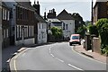
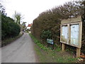
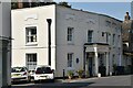
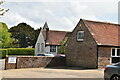
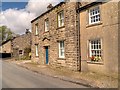
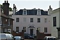
High St
by N Chadwick
geograph for square TQ3425
|
|
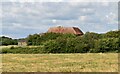
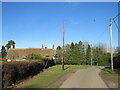
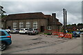
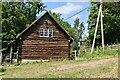
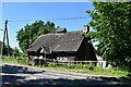
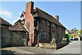
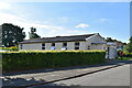
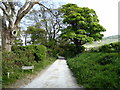
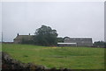
Barn
by N Chadwick
geograph for square TQ5407
|
|
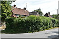
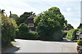
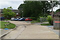
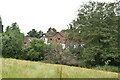
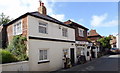
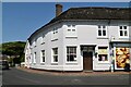
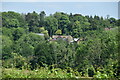
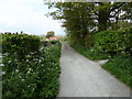
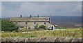
Arlington
by N Chadwick
geograph for square TQ5407
|
|
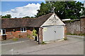
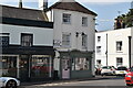
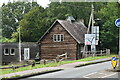
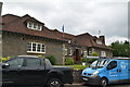
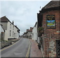
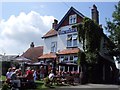
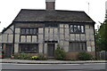
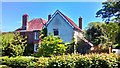
The Plough Inn
by N Chadwick
for square TQ5409
|
|
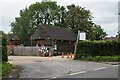
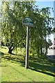
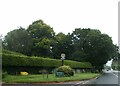
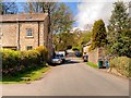
2016: a year on Geograph (Day 59)
by Basher Eyre
geograph for square TQ5407
The Street, Arlington, East Sussex
|
|
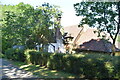
Arlington
by N Chadwick
geograph for square TQ5407
|
|
Hungerford, near Fordingbridge
by Malc McDonald
geograph for square SU1612
Hungerford is a small village in the New Forest National Park. It shares its... (more)
|
|
Blossom Roar
by N Chadwick
geograph for square TQ3024
|
|
Balcombe Scout Hall
by N Chadwick
geograph for square TQ3030
|
|
Balcombe Village Sign
by N Chadwick
geograph for square TQ3030
|
|
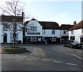
Balcombe
by N Chadwick
geograph for square TQ3030
|
|
Heads Together
by N Chadwick
geograph for square TQ3030
|
|
Victory Hall
by N Chadwick
geograph for square TQ3030
|
|
Victory Hall
by N Chadwick
geograph for square TQ3030
|
|
Jobes
by N Chadwick
geograph for square TQ3030
|
|
Cranbrook
by N Chadwick
geograph for square TQ3130
|
|
Balcombe
by N Chadwick
geograph for square TQ3130
|
|
Balcombe Scout hut
by N Chadwick
geograph for square TQ3030
|
|
Rocks Farmhouse
by N Chadwick
geograph for square TQ3030
Grade II listed.
|
|
Balcombe Village Sign
by N Chadwick
geograph for square TQ3030
|
|
Balcombe Scout hut
by N Chadwick
geograph for square TQ3030
|
|
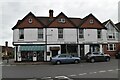
High Street, Alfriston
by PAUL FARMER
geograph for square TQ5203
|
|
Chestnuts Tea Rooms, Alfriston
by PAUL FARMER
geograph for square TQ5202
|
|
Ye Olde Smugglers Inne, Alfriston
by PAUL FARMER
geograph for square TQ5203
|
|
The Giants Rest, Wilmington
by Paul Gillett
geograph for square TQ5404
|
|
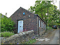
The Barn
by N Chadwick
geograph for square TQ3024
Grade II listed.
|
|
Cuckfield Pantry
by N Chadwick
geograph for square TQ3024
|
|
Kings Mews
by N Chadwick
geograph for square TQ3024
|
|
Village sign, A272, Bolney
by David Smith
geograph for square TQ2622
|
|
Casteye Cottage
by N Chadwick
geograph for square TQ3030
Grade II listed.
|
|
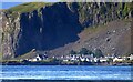
Seil - Ellenabeich beneath Dùn Mòr from Luing
by Rob Farrow
for square NM7417
|
|
Balcombe Primary School
by N Chadwick
geograph for square TQ3030
|
|
Iford Village Hall
by N Chadwick
geograph for square TQ4007
|
|
Spixworth village sign
by Adrian S Pye
for square TG2415
The sign reflects the village's rural heritage with the church being... (more)
|
|
Village Hall
by N Chadwick
geograph for square TM1337
|
|
Fulneck Gallery
by Stephen Craven
geograph for square SE2232
The gallery occupies a brick building at the eastern end of the village.
|
|
Bridleway, Wilmington
by PAUL FARMER
geograph for square TQ5404
|
|
Footpath at Wilmington
by PAUL FARMER
geograph for square TQ5404
|
|
The Old Vicarage, The Street, Wilmington
by PAUL FARMER
geograph for square TQ5404
|
|
Slaidburn, Town End
by David Dixon
geograph for square SD7052
Slaidburn is a small rural village situated at the confluence of the Croasdale... (more)
|
|
The Former Reading Room, Townend
by David Dixon
geograph for square SD7152
Slaidburn is a small rural village situated at the confluence of the Croasdale... (more)
|
|
Lane Farm
by N Chadwick
geograph for square SE1164
|
|
Terraced cottages, Greenhow
by N Chadwick
geograph for square SE1164
|
|
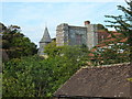
Ruins of Wilmington Priory
by PAUL FARMER
geograph for square TQ5404
|
|
The Old Vicarage
by N Chadwick
geograph for square TQ3024
Grade II listed.
|
|
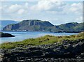
Seil - Ellenabeich beneath Dùn Mòr from Luing
by Rob Farrow
for square NM7417
Looking over to the village of Ellenabeich at the foot of Dùn Mòr. Centre image... (more)
|
|
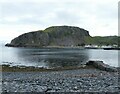
Easdale - Looking over Easdale village to Seil
by Rob Farrow
geograph for square NM7317
Taken from the top of the 38m (125') hill at the centre of the island of... (more)
|
|
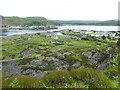
Easdale - looking over Easdale Sound to Dùn Mòr
by Rob Farrow
geograph for square NM7317
A little T-ended stone-built pier juts into Easdale Sound from the island of... (more)
|
|
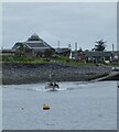
Easdale - Ferry on its way to Ellenabeich, Seil
by Rob Farrow
geograph for square NM7417
The little passenger ferry that plies the short route across Easdale Sound is... (more)
|
|
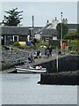
Easdale - Preparing to board the ferry
by Rob Farrow
geograph for square NM7417
|
