TQ4743 : Uckfield Lane, Markbeech
taken 7 days ago, near to Markbeech, Kent, England
This is 1 of 2 images, with title Uckfield Lane, Markbeech in this square
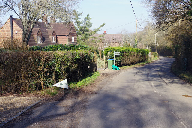
Uckfield Lane, Markbeech
Uckfield Lane connects Markbeech village with Hever, all within Hever Civil Parish. The house on the left in this view is Wood Cottage.
TIP: Click the map for more Large scale mapping
- Grid Square
- TQ4743, 39 images (more nearby 🔍)
- Photographer
- Stephen McKay (more nearby)
- Date Taken
- Wednesday, 5 March, 2025 (more nearby)
- Submitted
- Saturday, 8 March, 2025
- Subject Location
-
OSGB36:
 TQ 4756 4303 [10m precision]
WGS84: 51:10.0492N 0:6.5503E - Camera Location
-
OSGB36: TQ 4755 4301
- View Direction
- North-northeast (about 22 degrees)