TA1028 : Victoria Dock, Kingston upon Hull
taken 6 years ago, near to Kingston Upon Hull, England
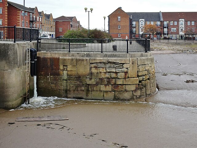
The formal opening took place on 3 July 1850, with the dock given the name Victoria Dock, in honour of Queen Victoria. The Dock closed on 1 February 1970 and was infilled. In 1987 the City Council acquired the dock estate from ABP (Associated British Ports). The same year, the Council entered into a partnership with Bellway Homes Ltd to redevelop the estate for new homes, a marina, a park, playing fields, community centre, maritime museum and community school. House-building at Victoria Dock Village commenced in 1988. Remaining are The Outer Basin and Half-Tide Basin to the dock on the Humber Estuary, and the Basin on the river Hull. Further information in Wikipedia: Link
and Victoria Dock Heritage Trail: Link
Victoria Dock opened 3 July 1850 and closed to commercial traffic 1 February 1970. The following year the dock, except for the half-tide basin, was filled in. The No. 2 slipway engine house and the bridge between the dock and the half-tide basin were retained. In 1987 the City Council acquired the dock estate from Associated British Ports (ABP). The same year, the Council entered into a partnership with Bellway Homes Ltd to redevelop the estate for new homes, a marina, a park, playing fields, community centre, maritime museum and community school. House-building commenced 11 May 1988. Further reading: Hulls Victoria Dock Village by Colin McNicol, 106pp, 2002.
- Grid Square
- TA1028, 3623 images (more nearby 🔍)
- Photographer
- Bernard Sharp (more nearby)
- Date Taken
- Saturday, 20 October, 2018 (more nearby)
- Submitted
- Friday, 7 March, 2025
- Subject Location
-
OSGB36:
 TA 1099 2850 [10m precision]
WGS84: 53:44.4646N 0:19.1195W - Camera Location
-
OSGB36: TA 1097 2850
- View Direction
- EAST (about 90 degrees)