2020
SP0392 : High Water Levels - During Construction of Flood Control Structure
taken 5 years ago, near to Hamstead, Sandwell, England
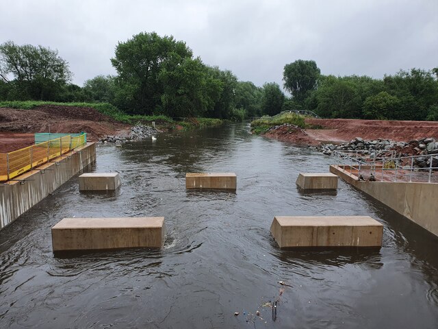
High Water Levels - During Construction of Flood Control Structure
TIP: Click the map for more Large scale mapping
- Grid Square
- SP0392, 30 images (more nearby 🔍)
- Photographer
- Thomas Roberts (more nearby)
- Date Taken
- Thursday, 18 June, 2020 (more nearby)
- Submitted
- Saturday, 1 March, 2025
- Subject Location
-
OSGB36:
 SP 0390 9289 [10m precision]
WGS84: 52:32.0317N 1:56.6362W - Camera Location
-
OSGB36: SP 0387 9289
- View Direction
- EAST (about 90 degrees)