2024
SU6252 : Path at the end of Thorneycroft lane
taken 5 months ago, near to Basingstoke, Hampshire, England
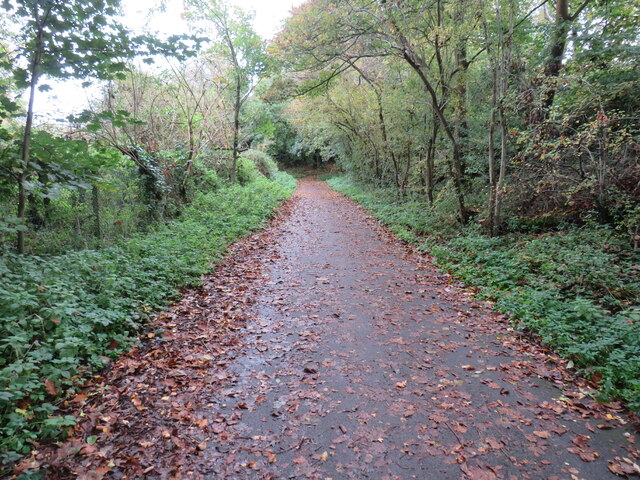
Path at the end of Thorneycroft lane
TIP: Click the map for more Large scale mapping
- Grid Square
- SU6252, 1003 images (more nearby 🔍)
- Photographer
- Richard Rogerson (more nearby)
- Date Taken
- Wednesday, 23 October, 2024 (more nearby)
- Submitted
- Wednesday, 23 October, 2024
- Subject Location
-
OSGB36:
 SU 6224 5203 [10m precision]
WGS84: 51:15.8423N 1:6.5601W - Camera Location
-
OSGB36: SU 6216 5201
- View Direction
- East-northeast (about 67 degrees)