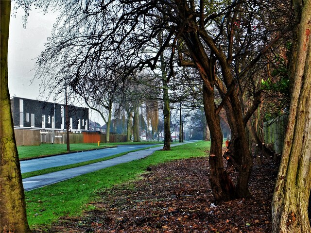
TA1232 : Middlesex Road, Kingston upon Hull
taken 12 years ago, near to Sutton-on-Hull, Kingston Upon Hull, England
Due to the nature of their construction, Caspon houses built in the 1960s have been demolished to create cleared sites for nearly 800 new dwellings in a series of phases. The dwellings are designed to be a mix of three to five bed units, and a smaller number of two bedroom bungalows. A mix of tenures will include houses for sale on the open market and houses for rent, through a registered social landlord. Homes for open market sale are by Compendium Living; those for shared ownership by Together Housing. The overall masterplan includes a number of green spaces, some with soft landscaping and some with play equipment for younger children. Due for completion in 2027. Lovell overview: Link
All the roads are named after places in London.
The new-build phases were/are as follows:
A: Camberwell Way: 27 dwellings in 2005
B: Camberwell Way: 32 in 2007
C: Camberwell Way, Mitcham Road, Barking Close, Highgate Close: 127 in 2009
D: Land between Mitcham Road and Twickenham Close: 56 in 2013
1: Perivale Close / Petersham Close: 65 completed in 2016
2a: Middlesex Road / Saltshouse Road: 68 completed in 2019
2b: Middlesex Road / Chelsea Close: started in 2024
2c: Battersea Close / Saltshouse Road: started mid-2019
3a: Bellfield Avenue / Acton Close: to be confirmed
3b: Surbiton Close / Bellfield Avenue: 83 completed March 2018
4: Barnet Close and N of Bellfield House: to be confirmed
5: Balham Avenue: 84, to be confirmed
See map for locations 1 to 5: Link
- Grid Square
- TA1232, 594 images (more nearby 🔍)
- Photographer
- Bernard Sharp (more nearby)
- Date Taken
- Sunday, 16 December, 2012 (more nearby)
- Submitted
- Monday, 29 January, 2024
- Subject Location
-
OSGB36:
 TA 1297 3237 [10m precision]
WGS84: 53:46.5252N 0:17.2343W - Camera Location
-
OSGB36: TA 1299 3229
- View Direction
- North-northwest (about 337 degrees)