2022
SD5529 : London Road
taken 3 years ago, near to Preston, Lancashire, England
This is 1 of 4 images, with title starting with London Road in this square
London Road
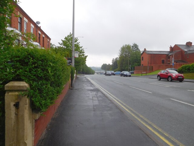
The A6 out of Preston.
The A6
The A6 is Britain's fourth longest road and one of the main historic north-south roads in England. It currently runs for 299 miles from Luton in Bedfordshire to Carlisle in Cumbria, although it formerly started at a junction with the A1 at Barnet.
Running north west from Luton, the road travels through Bedford, bypasses Rushden, Kettering and Market Harborough, continues through Leicester, Loughborough, Derby and Matlock before going through the Peak District to Bakewell, Buxton, Stockport, Manchester, Salford, Pendleton, Irlams o' th' Height, Pendlebury, Swinton, Walkden, Little Hulton, Bolton, Chorley, Preston, Lancaster, Kendal and Penrith before reaching Carlisle.
See Link(Wikipedia) and Link
TIP: Click the map for more Large scale mapping
- Grid Square
- SD5529, 59 images (more nearby 🔍)
- Photographer
- Gerald England (more nearby)
- Date Taken
- Monday, 16 May, 2022 (more nearby)
- Submitted
- Monday, 20 June, 2022
- Subject Location
-
OSGB36:
 SD 551 290 [100m precision]
WGS84: 53:45.3575N 2:40.9206W - Camera Location
-
OSGB36: SD 551 291
- View Direction
- South-southeast (about 157 degrees)