2005
SE1148 : Ilkley Bridge, River Wharfe
taken 19 years ago, near to Ilkley, Bradford, England
This is 1 of 9 images, with title starting with Ilkley Bridge in this square
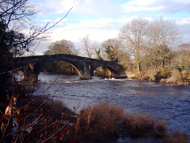
Ilkley Bridge, River Wharfe
The River Wharfe is a major Yorkshire River. It is 97 miles long. It rises in Langstrathdale in the Yorkshire Dales National Park and flows south then east to join the River Ouse at Cawood. It is navigable as far as Tadcaster.
Wikipedia: Link
See other images of River Wharfe
Wikipedia: Link
See other images of River Wharfe
TIP: Click the map for more Large scale mapping
- Grid Square
- SE1148, 199 images (more nearby 🔍)
- Photographer
- habiloid (more nearby)
- Date Taken
- Monday, 5 December, 2005 (more nearby)
- Submitted
- Friday, 24 December, 2021
- Subject Location
-
OSGB36:
 SE 1123 4811 [10m precision]
WGS84: 53:55.7400N 1:49.8277W - Camera Location
-
OSGB36: SE 1127 4809
- View Direction
- West-northwest (about 292 degrees)