2016
ST3289 : Exit slip road from the M4 motorway westbound at junction 25, Newport
taken 9 years ago, near to Caerleon, Newport/Casnewydd, Wales
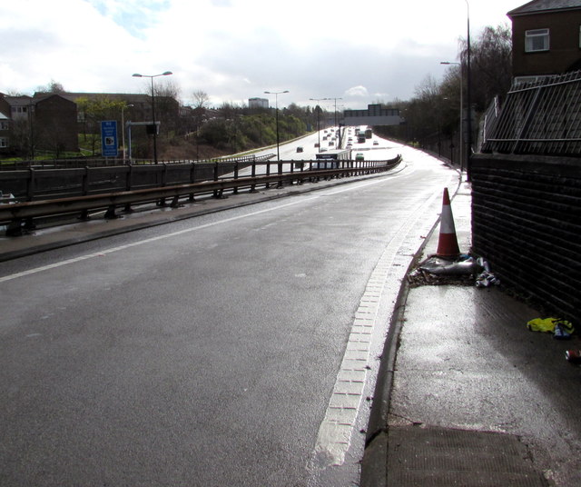
Exit slip road from the M4 motorway westbound at junction 25, Newport
The B4596 Caerleon Road is behind the camera.
M4 Motorway
The M4 is 190 miles long and runs from London to South Wales. Major centres close to the motorway include Reading, Swindon, Bristol, Newport, Cardiff and Swansea. The motorway was constructed between 1961 and 1996. The M4 originally crossed the first Severn Road Bridge. It has now been diverted to use the Second Severn Crossing and the motorway over the older bridge has been renumbered as M48.
Wikipedia: Link
TIP: Click the map for more Large scale mapping
- Grid Square
- ST3289, 352 images (more nearby 🔍)
- Photographer
- Jaggery (more nearby)
- Date Taken
- Wednesday, 30 March, 2016 (more nearby)
- Submitted
- Wednesday, 29 November, 2017
- Subject Location
-
OSGB36:
 ST 3242 8966 [10m precision]
WGS84: 51:36.1025N 2:58.6289W - Camera Location
-
OSGB36: ST 3228 8972
- View Direction
- East-southeast (about 112 degrees)