2016
NZ3356 : River Wear near Washington
taken 8 years ago, near to Washington, Sunderland, England
This is 1 of 2 images, with title starting with River Wear near in this square
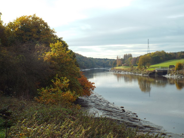
River Wear near Washington
This view of the River Wear looks upstream. The photograph was taken in late October, as trees were turning golden.
River Wear
The River Wear flows generally eastward from its source in the Northern Pennines to its mouth at Sunderland. It is 60 miles long. Major settlements on the river are Durham and Sunderland.
Wikipedia: Link
TIP: Click the map for more Large scale mapping
- Grid Square
- NZ3356, 83 images (more nearby 🔍)
- Photographer
- Malc McDonald (more nearby)
- Date Taken
- Saturday, 29 October, 2016 (more nearby)
- Submitted
- Tuesday, 1 November, 2016
- Subject Location
-
OSGB36:
 NZ 3363 5611 [10m precision]
WGS84: 54:53.9156N 1:28.6282W - Camera Location
-
OSGB36: NZ 3366 5612
- View Direction
- West-southwest (about 247 degrees)